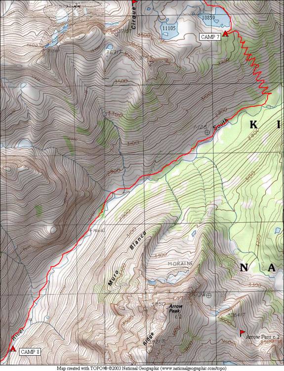
Cartridge Pass and Muro Blanco 2006
Into the Muro Blanco Canyon
Thursday, August 24, 2006
Index <<Previous Next>>
|
Back to longer days, although this one was not too long. Continued following the good trail down to the bottom of the canyon, where it disappeared. Travel in this first part of the canyon was fairly easy for a while, through forest and meadows. We hit some aspen groves which were quite thick and had a sticky substance on them. My legs (wearing shorts) began to show the marks of difficult bushwacking, also suffered an injury to a pinky finger. But the canyon felt like a place where few people had visited. We did see some campsites with fire rings in the first mile or two, but then the signs of other visitors were in the form of paths through the trees and brush, which we speculated were made by bears. We began to seek out these paths, as they made the travel slightly easier. We also looked for ways to get to talus fields, which were easier to travel over than brush and trees.
Some concern about whether we would find a suitable campsite began to haunt us when we neared our predetermined goal for the day, elevation 8900 feet (set so we’d have no more than five miles tomorrow). Around this elevation, there was a “narrows” in the canyon, with two distinct stands of pine trees. The first didn’t have any suitable camping, but the second had a flat area just large enough for our two tents… we just had to cross the river to the southeast side to get to it. Not a problem this time of year, but the water did come up to the bottom of my shorts.
Journal Entry: Got an earlier start today—8am. Easier downhill to S. Fork Kings River as the trail was pretty good. Initial section of Muro Blanco easy—then we hit aspen groves that were difficult to get through. Made it to our goal camp (a bit past it) around 3pm—around 8900 feet on the southeast side of the river in a stand of pine trees. Tomorrow we have almost 5 miles to Upper Paradise and a trail—hopefully we will make it! |
|
|
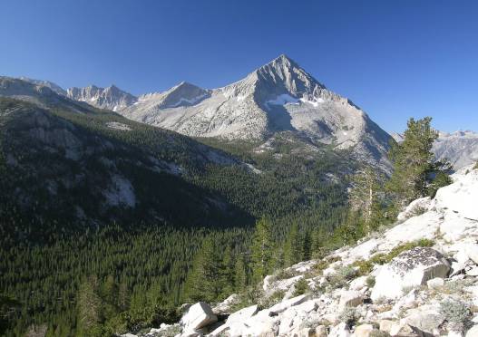
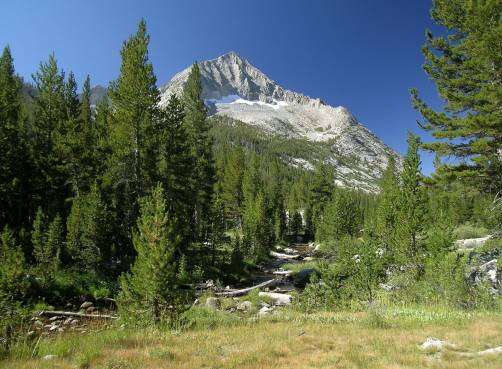
Arrow Peak above the canyon from our descent route |
|
Arrow Peak towering above a meadow on the canyon floor |
|
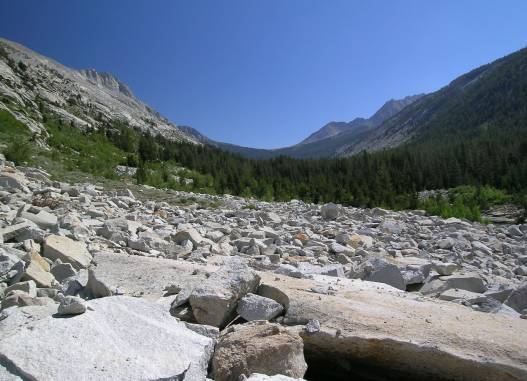
Looking back up-canyon Taboose Pass is the low point in the center |
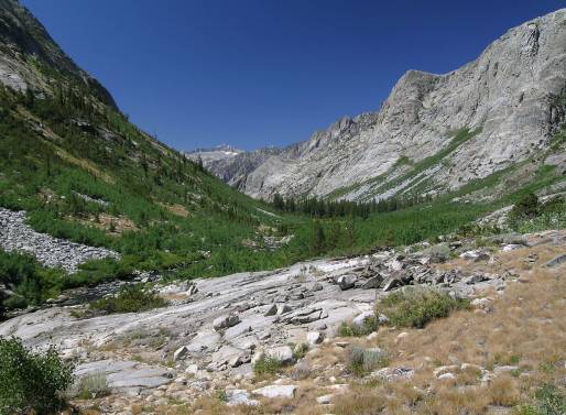
Looking down-canyon |
|
Looking down-canyon |
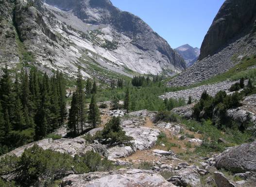
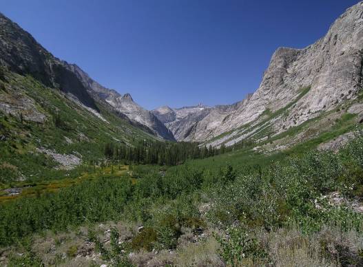
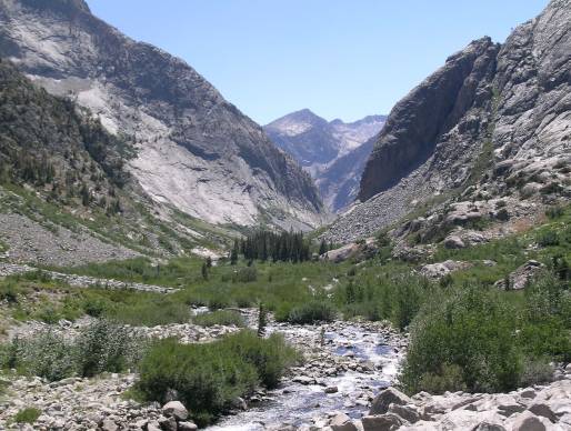
The “narrows” ahead with the young river in the foreground |
|
We camped in the group of pine trees below the large rock face on the right |
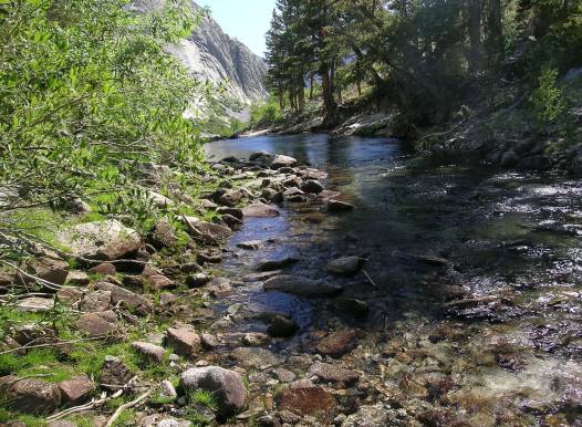
The river near our campsite |