McGee Pass 2019
Lake Wit-So-Nah-Pah to Franklin Lake
Sunday, August 18, 2019
Index <<Previous Next>>
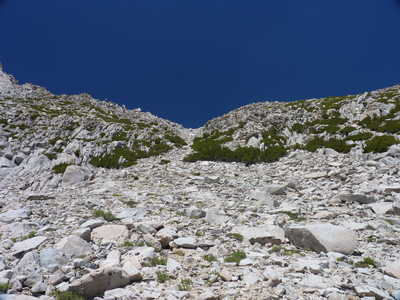
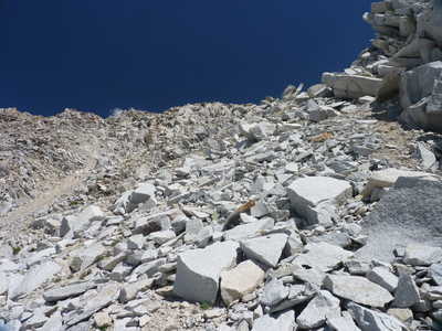
One of the bigger challenges of the trip, Pretty Pass is at just under 11,900 feet elevation and is a class 2 crossing of the Sierra Crest. The approach was not bad, with no snow crossing required on this side of the pass. The other side had some snow to cross, but it was not bad at all.
Journal Entry: Swarms of mosquitos last night after 7pm, worst yet this trip. Pleasant night otherwise. Started toward Pretty Pass with a short uphill to Bighorn Lake, then a downhill to a pond above Lake Dorothy. Could see the pass from above Bighorn Lake. Long uphill, most over easy terrain until the upper part of the basin. Some large talus, then the final slope which was quite steep with a mix of talus and loose scree. Got to the top around 12:30. Didn’t cross any snow on the way up. Downhill side was more loose scree and talus, with some snow fields. Some were a bit steep but soft. More talus brought us to Franklin Lakes around 3:00. Saw one person walking on lake shore. Found a campsite not far from the lake. Very few mosquitos so far at least. They have been worst between 9000 and 11,000 feet, we are a bit above that here.
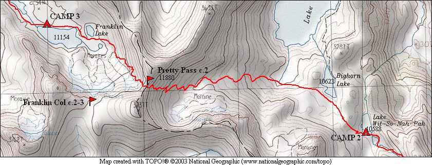
 Pika near camp in the morning |
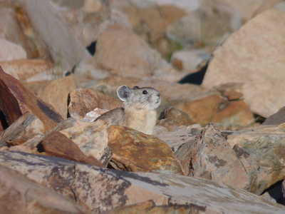
 Pretty Pass (low point on ridge) |
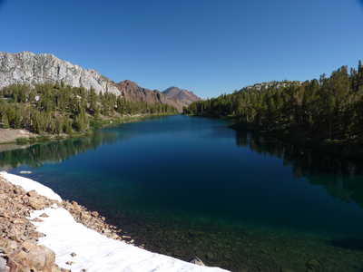 Bighorn Lake | 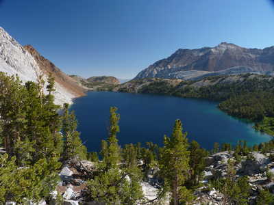 Lake Dorothy |
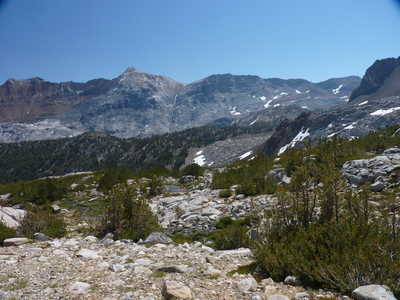 view east | 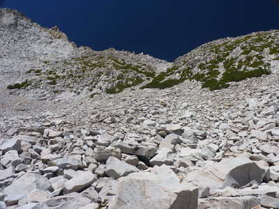 Pretty Pass above |
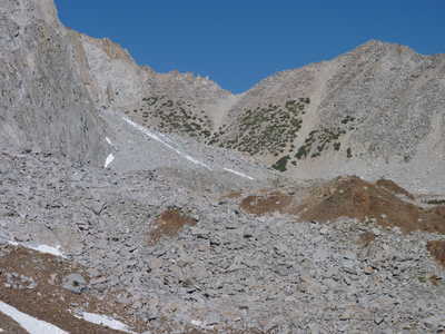
 Pretty Pass | 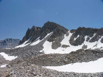 barren basin below Pretty Pass |
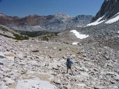 Ron taking a breather on final approach | 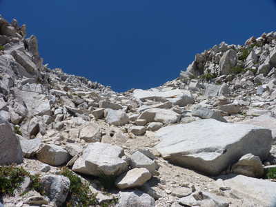 Pretty Pass just a bit higher |
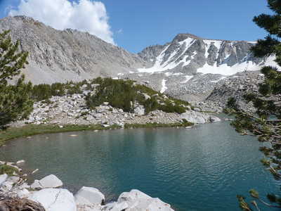
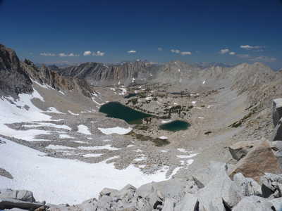 view west from the pass: Franklin Lake | 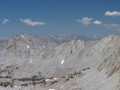 view west from the pass: Ram Lake |
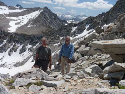 Steve & Ron on Pretty Pass | 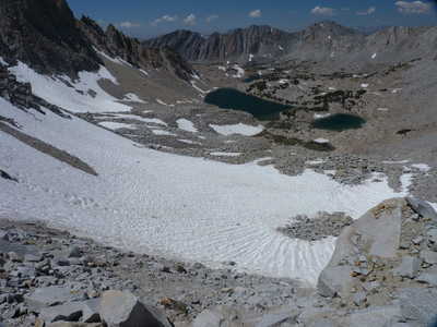 Franklin Lake |
 Pretty Pass from the west | 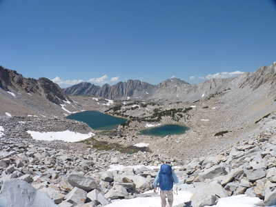 Ron heading down to Franklin Lake |
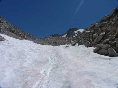 our tracks across one of the snow fields | 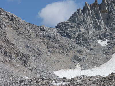 Pretty Pass west side |
 Pretty Pass above Franklin Lake | 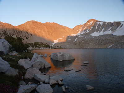 evening alpenglow |