McGee Pass 2019
Big McGee Lake to Lake Wit-So-Nah-Pah
Saturday, August 17, 2019
Index <<Previous Next>>
Left
the trail early to go over our first pass of the trip, Corridor
Pass. It is not as much of a "corridor" as I expected from
looking at the map. It is fairly open at the top with nice
views. We enjoyed the views of Mt. Gabb (which we climbed in
1999), 9.4 miles distant. A fair amount of snow to cross on the
north side, remnants of last winter. But sometimes snow is easier
to walk on than rock, especially loose rock.
Journal Entry: Started 8:30 or so after a fairly cold night—low of 41F. Mosquitos bugging in the morning due to no wind. Headed up the trail a bit, then left the trail to climb to Corridor Pass. First part steep, then walked through meadows and then loose red rock mixed with some snow crossings. Arrived at the pass at 11:30—11,790 ft. elevation. Nice views in both directions. Started down over more snow and loose rock. Met a group of six heading up to the pass. Continued down, around the east side of Constance Lake, then down to Lake Wit-So-Nah-Pah. Found a beautiful campsite at the south end of the lake in trees. A few mosquitos here. We didn’t see many mosquitos above 11,000 ft.
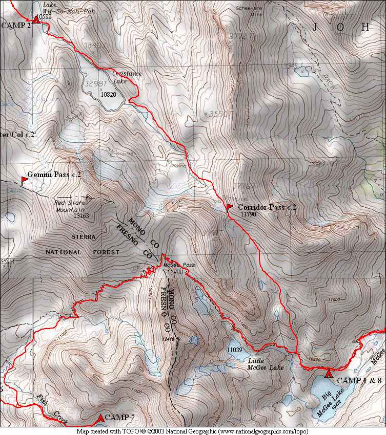
 Red & White Mtn over Big McGee Lake |
 looking back at Mt. Crocker after starting the off trail |
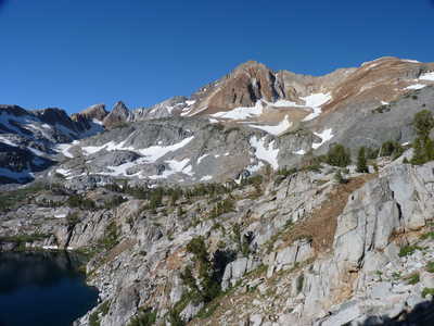
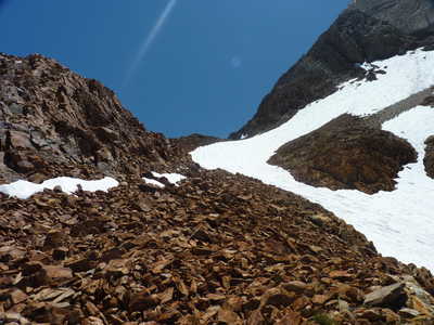
 Mt. Crocker with Mt. Gabb in the distance | 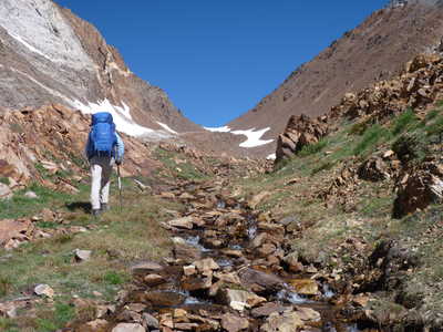 uphill climb to Corridor Pass |
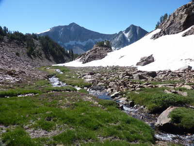
 Corridor Pass from the south | 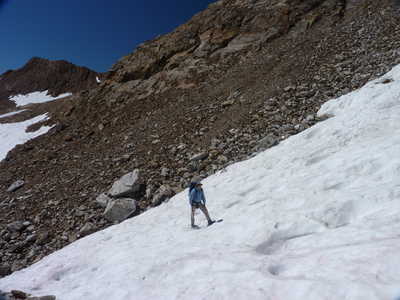 Ron crossing some snow |
 Corridor Pass from the south | 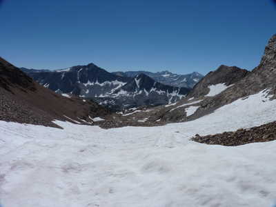 Mt. Crocker, Abbot, Gabb in view south from the pass |
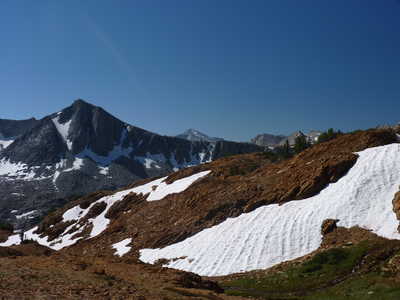
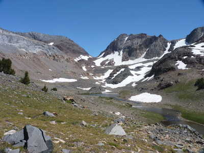
 view north from the pass with Constance Lake | 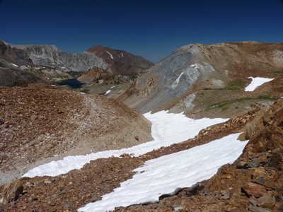 view north with Constance Lake |
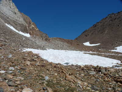
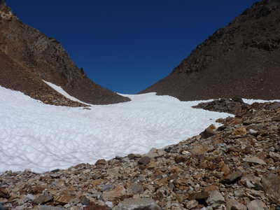
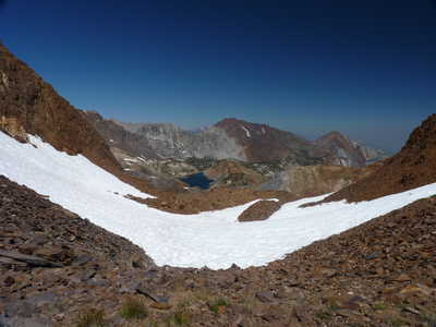
 Corridor Pass from the north | 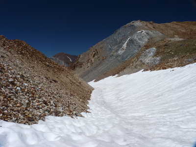 descent route over snow fields |
 Corridor Pass from the north | 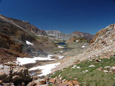 Constance Lake getting closer |
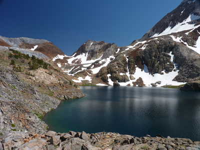
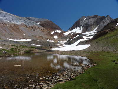 Corridor Pass from just above Constance Lake | 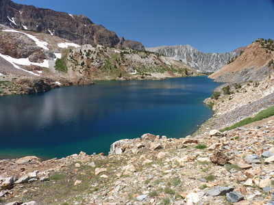 Constance Lake |
 Corridor Pass | 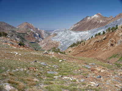 view down valley to Mildred Lake |
 Corridor Pass over Constance Lake | 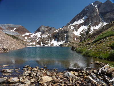 Corridor Pass and Red Slate Mtn (high one on right) over Constance Lake |
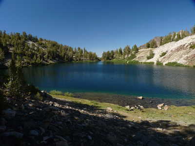 Lake Wit-So-Nah-Pah |
|