Routeburn & Caples Tracks
January 21-25, 2009
Next adventure>> Back to Steve’s Tramping Adventures Back to main NZ page
|
|
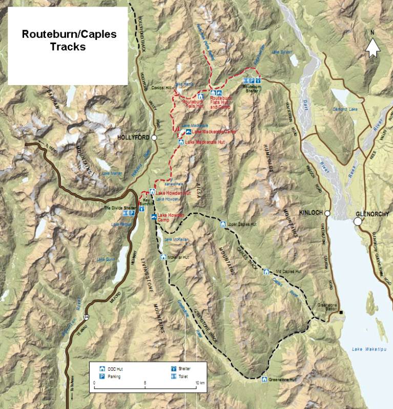
The Routeburn Track is commonly done as a three-day hike from the Glenorchy area, over to the Milford Sound road (or in reverse), which then requires transportation to get back to the starting point. Instead of doing that, I opted to connect the Routeburn Track to the Caples Track. The Greenstone Track, also shown on the map, is another option that is slightly longer but doesn’t have the extra climb over a saddle like the Caples Track does. But I wanted the extra time in the alpine, so I opted for the Caples Track as the weather cooperated. So, officially I missed the last bit of the Routeburn Track that leads down to The Divide from Key Summit.
Like the Kepler Track, the Routeburn Track spends the good part of a day above bushline. The track crosses Harris Saddle and then skirts the ridge over to Lake Mackenzie where it drops below bushline just before reaching the hut. Unlike the Kepler, the Routeburn doesn’t have any huts above bushline.
These were the only tracks I did where I “skipped” huts. Some of the huts on these tracks are positioned close together, presumably to make more options available to trampers. I skipped the Routeburn Flats Hut, which is close to the Routeburn Falls Hut. I also skipped the Mid Caples Hut, only a couple of hours from the Upper Caples Hut.
At the end of the track, a water taxi is used to get back to Glenorchy. Although there is a road leading to the trailhead, it is somewhat rough and long, and the boat is faster. |
|
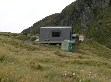
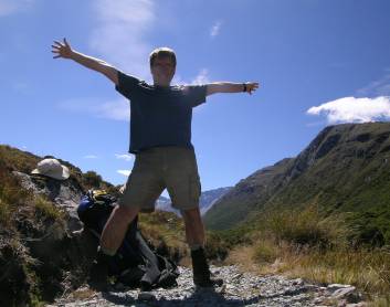
Wed. Jan 21: Started the Routeburn Track today—bus from Queenstown left at 8, on the track shortly after 10. Arrived at Routeburn Falls Hut around 1:30. Weather was cloudy with a few sprinkles, a little heavier after I reached the hut. Outlook is for more rain. This hut is built on a slope, one end of it is on high “stilts.” There is construction going on nearby—perhaps a new hut for guided walkers. Plan to loop to the Caples Track, which could change based on weather.
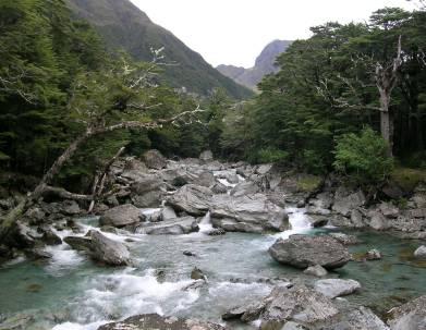
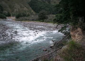
Routeburn Shelter at the trailhead, Route Burn flowing in the valley
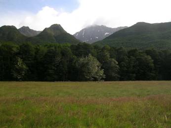
Views of Routeburn Flats |
|
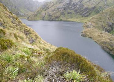
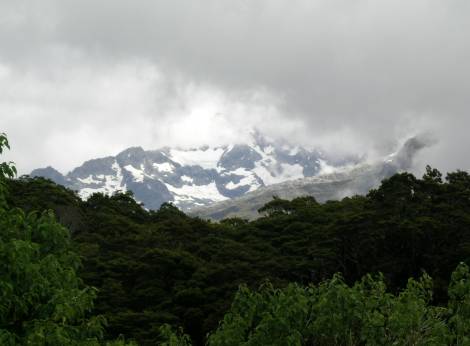
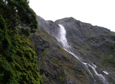
Thu. Jan 22: Rain was forecasted but only a few sprinkles during the tramp. Views of the Routeburn drainage were awesome! Reached Harris Saddle around 11am—views to the west were obscured by clouds. Didn’t do the side trip to Conical Hill due to the clouds. Some views of Hollyford Valley from further down the track as the clouds moved around, but no really grand views. Reached Lake Mackenzie Hut around 2pm—nice lake with high peaks around it. Tomorrow I go to Lake Howden Hut—only a 3 hour walk from here. Forecast is for rain in the afternoon.
Views from the east side of Harris Saddle
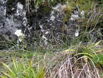
Lake Harris, local vegetation, and the shelter on Harris Saddle
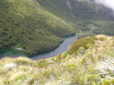
Lake Mackenzie (hut is visible at upper end of lake) and view west from the Lake Mackenzie Hut when the clouds partially cleared |
|
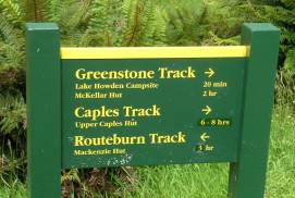
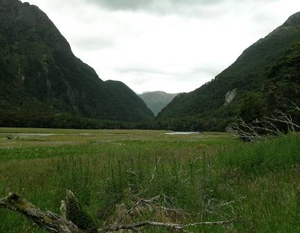
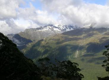
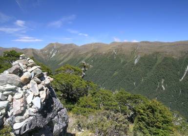
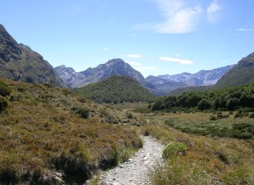
Fri. Jan 23: Easy tramp today—only 5 miles or so. Reached Lake Howden Hut around 11:30, grabbed a bunk, and headed for Key Summit. Quite windy up there, but the views were fantastic! Clouds were higher than yesterday which opened up views of Hollyford Valley. No rain yet today—latest forecast has it developing this evening. Tomorrow morning is decision point on Caples vs. Greenstone. Caples is about 5km shorter but risk of difficult stream crossings in heavy rain. I will check the forecast tomorrow morning!
View across Hollyford Valley, Earland Falls, and Lake Howden |
|
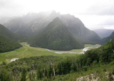
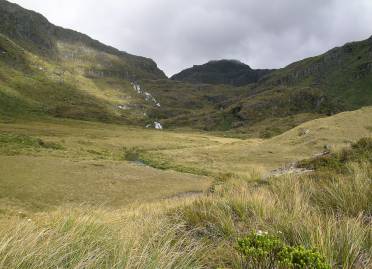
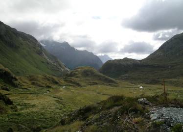
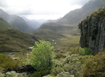
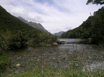
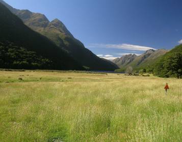
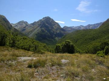
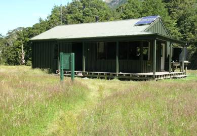
Sat. Jan 24: Nice group in the hut—only 11 of us. Started at 9am—rough track up to McKellar Saddle reminded me more of off-trail in the US—though there were orange triangles on the trees to mark the path. Glorious weather despite the forecast, only a few clouds all day. Views from the saddle were great, met 10 people (including two families) headed the other way. Dropped back down below bush line, followed a dry river bed instead of the track for a while. Track on this side of the saddle was not as steep but still plenty of roots (tree roots) to stumble over. Arrived at Upper Caples Hut at around 4pm—7 hours on the track. Two others are here right now—there are 16 bunks. Tomorrow out to Glenorchy. (Later) Two more guys just showed up around 8pm. First couple is from Auckland—other two are from Israel.
Meadow and Lake McKellar, view of Greenstone Valley from McKellar Saddle, happy to be on McKellar Saddle after a rough climb
Views of Caples Valley and the Upper Caples Hut |
|
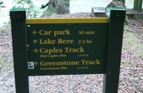
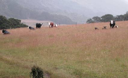
Sun. Jan 25: Day started cloudy, was sprinkling when I left the hut around 8:30. Sprinkles came and went, but never rained harder than that. Reached Mid Caples Hut around 10:40 and ate the last of my food. Back on the track at 11:00, started seeing cows and sheep right after the hut. Uneventful hike down to the car park—arrived around 1:20 for the 2:00 transport to Glenorchy. Got on a bus first for the short drive to the wharf, then boarded a “water taxi” for the ride across the lake to Glenorchy. Checked into my cabin and did some chores. All set to start the Rees-Dart Track tomorrow, bus leaves at 9:15. Forecast has the weather improving over the next few days.
Views on the walk out |
Next adventure>> Back to Steve’s Tramping Adventures Back to main NZ page