Patagonia & Antarctica 2011
El Chalten, Argentina
|
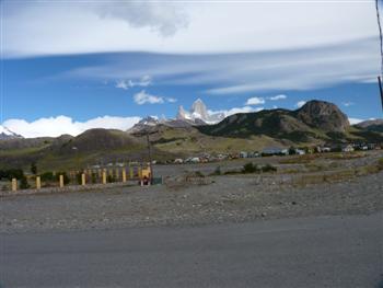
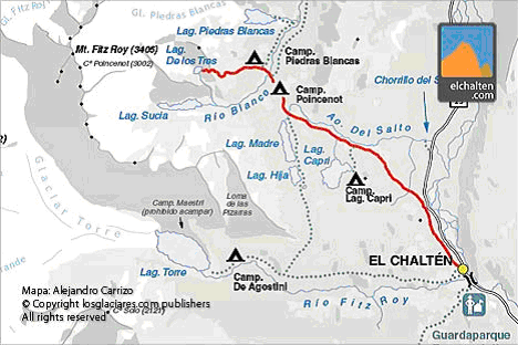
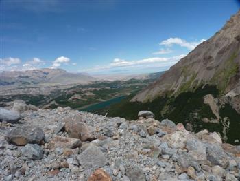
El Chalten is a small town with
everything in easy walking distance, including the trailheads.
We stayed at the Rancho Grande Hostel, which is a nice place
that also serves food (as well as having a small kitchen for
self-prepared meals). On Sunday, Steve hiked the trail to
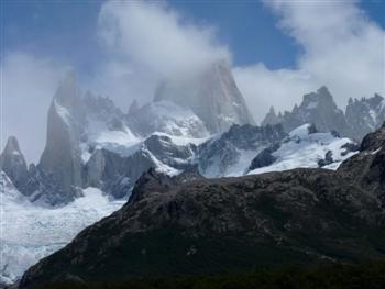
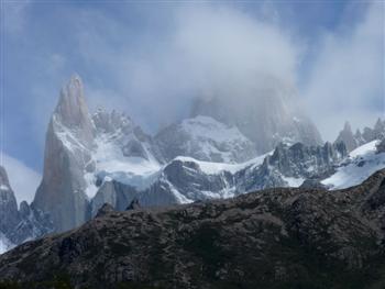
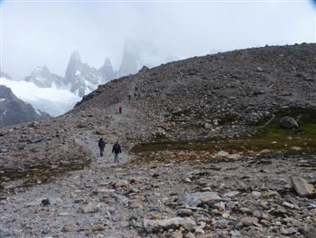
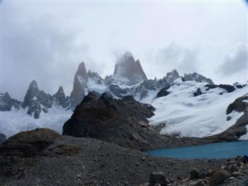
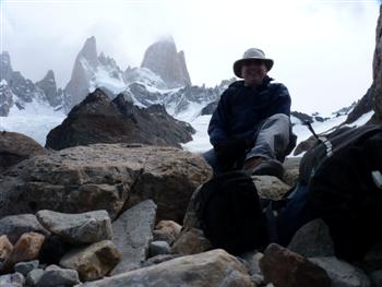
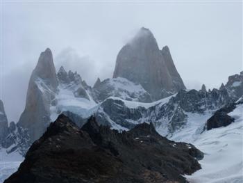
Laguna de los Tres, which is shown in red in the map. This is
a 25 km (15 mile) round trip hike with about 750 m (2500 feet) of
elevation gain. The last section is steep and rocky, but the
view at the top was worth it, despite Mt. Fitz Roy being partially
obscured by clouds! |
|
|
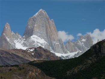
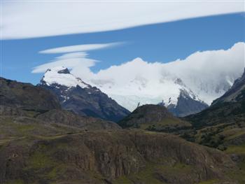
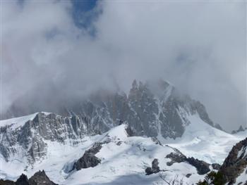
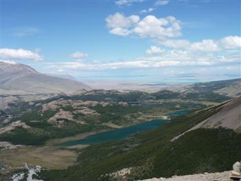
Sunday: Laguna de los Tres hike
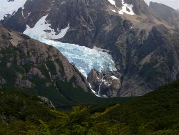
Mt. Fitz Roy in the clouds, Laguna Capri, hanging glacier
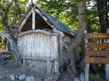
Fitz Roy views, old cabin at Rio Blanco climber's campground
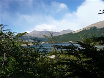
rocky terrain on last section, view back of Laguna Madre and Laguna Hija, Fitz Roy with Laguna de los Tres
Steve at Luguna De los Tres, Fitz Roy nearly fully visible, view back of Laguna Madre and Laguna Hija
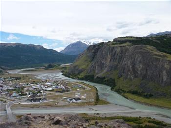
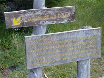
Sign warning of dangerous ascent, Rio de los Vueltas upstream from El Chalten Sign above says: Sr Visitante Google English translation: Mr Guest
|
|
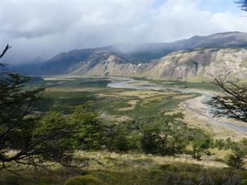
Monday: Mirador de los Condores hike
Mt. Fitz Roy
Cerro Solo, El Chalten from the viewpoint
|