Silliman Pass, Cloud Canyon, and Lion Lake 2016
Lion Lake to
Tamarack Lake
Thursday, August 25, 2016
Index <<Previous Next>>
Although
today was the shortest mileage of the trip, it was another tough
off-trail day. The route between these lakes is
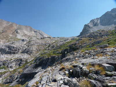
challenging. As shown on the map above, we went quite a bit to
the south of the creek to find our way down. The last few hundred
feet above the meadow (large flat area above and to the east of
Tamarack Lake) were challenging as there were lots of cliffs to
avoid. Once we found our way down to the meadow, we traversed to
the northwest, crossing the creek just above the waterfall that is
visible from Tamarack Lake. Supposedly there is a route down a
bit northwest of the creek crossing, but we couldn't find it. We
ended up going even further to the northwest and found a steep route
down to the lake through mostly tall grass. In hindsight, perhaps
the easiest route down this last section would be through the talus
sloping into the southeast shore of the lake.
Journal Entry: Got started around 9:00, tougher than expected coming down. Lots of cliffs to avoid. Finally made it to camp at Tamarack Lake 2:00 or so. Beautiful lake with waterfall, nobody else is here. Tomorrow we have a long day on trail.
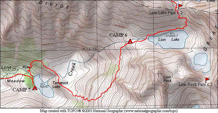
 view down the valley, Tamarack Lake in center |
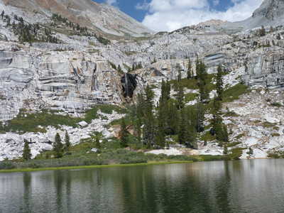
 Tamarack Lake |
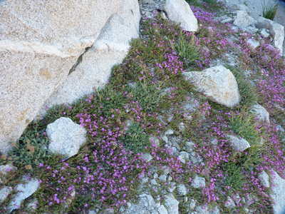 wildflowers |
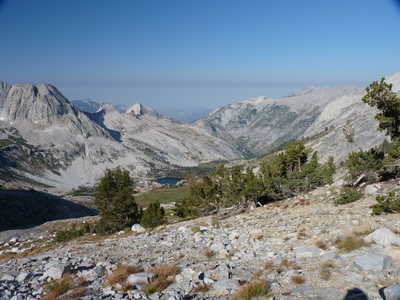
 looking back toward Lion Lake |
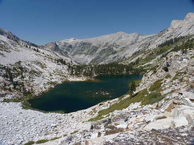 Tamarack Lake |
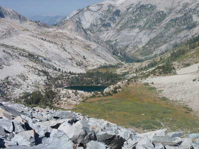
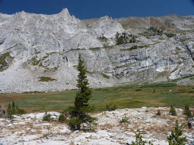 meadow above Tamarack Lake |
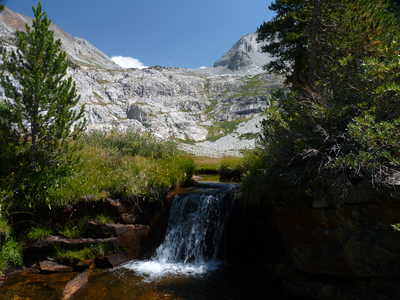 small waterfall at the meadow above the lake |
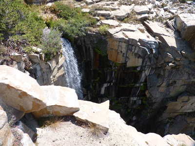 large waterfall above Tamarack Lake |
 Tamarack Lake from the north |
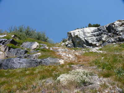 grassy slope that we came down north of the lake |
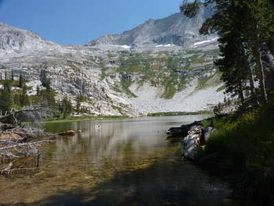 Tamarack Lake from its outlet |
 waterfall above Tamarack Lake |
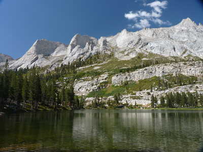 Tamarack Lake and rocky peaks to the north |
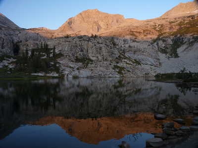 Lion Rock over Tamarack Lake |