Silliman Pass, Cloud Canyon, and Lion Lake 2016
Tamarack Lake
to Mehrten Creek
Friday, August 26, 2016
Index <<Previous Next>>

The
longest mileage day of the trip, but now we are back on trail and our
packs are light! We passed through Bearpaw Meadow, which is a
large city by backcountry standards. It has a ranger station,
tent cabins, and a campground. A mule train with supplies showed
up while we were there. We saw a bear just past Bearpaw Meadow up
from the trail. He didn't seem very concerned about us.
Being so close to Bearpaw Meadow he is certainly accustomed to
humans! We hadn't seen anyone on the trail today until we got to
Bearpaw. After Bearpaw, we were on the High Sierra Trail, a major
route that crosses the Sierra from Crescent Meadow to Mt.
Whitney. We saw the most people of the whole trip on this section
of trail.
Journal Entry: Started about 8:00, found the trail after a short search. Down 1200 ft. to first junction, then took the higher trail over to Bearpaw. Had a short chat with the ranger and headed out toward the trailhead. Long up-and-down hike, arriving at Mehrten Creek just after 4:00. Campsites here are up a steep hill from the trail, we are in the highest of four. Tomorrow we have 6 miles back to the car at Crescent Meadow.
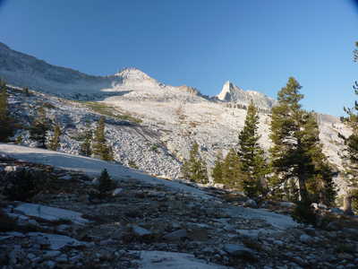 north side of valley |
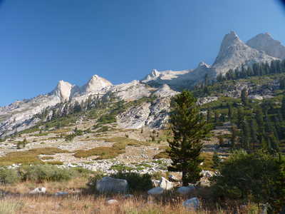 rocky peaks on north side of valley |
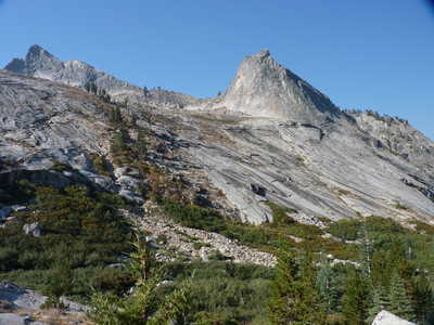 south slope of valley, Valhalla |
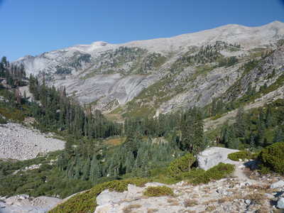 lower part of valley before joining Elizabeth Pass trail |
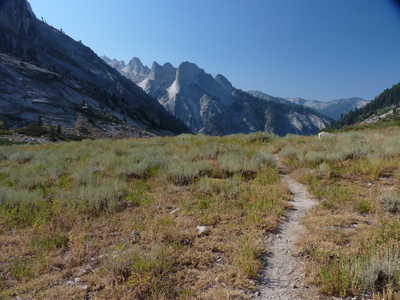 trail and view to the south after the left turn |
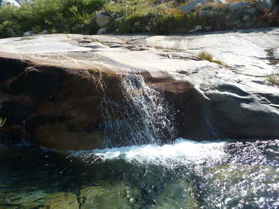 small cascade on Lone Pine Creek near junction with "Over the Hill Trail" |
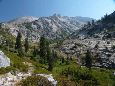 view back, valley we came down goes up to the right |
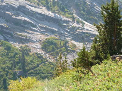 trail switchbacks to Hamilton Lake |
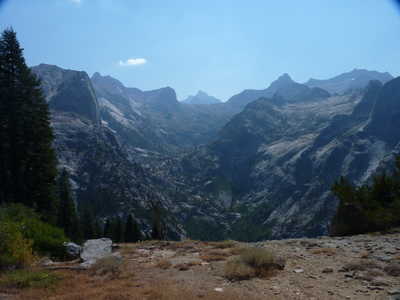 view up the valley toward Hamilton Lakes |
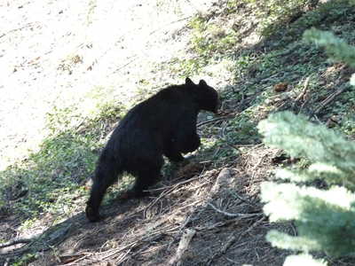 black bear near the trail just west of Bearpaw Meadow |
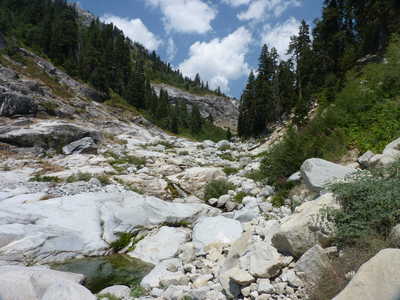 Buck Creek |
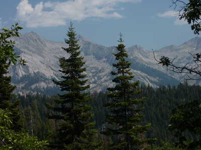 Great Western Divide |
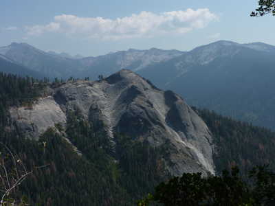 Sugarbowl Dome |
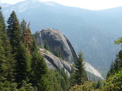 Little Blue Dome |
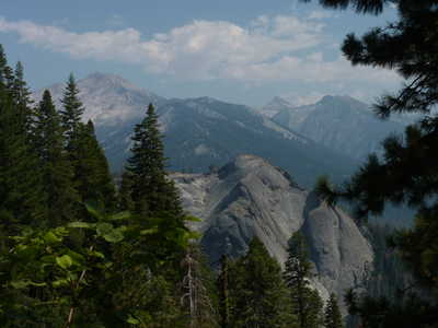 Mt. Eisen (left), Sawtooth Peak (sharp peak just right of center) |
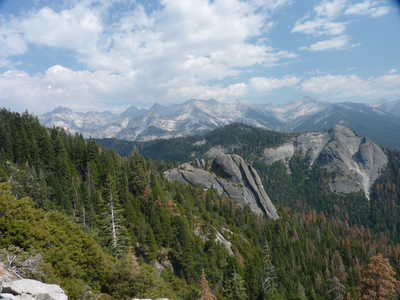 Little Blue Dome (center), Sugarbowl Dome (right) Great Western Divide (above) |
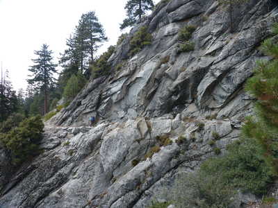 trail blasted in rock |
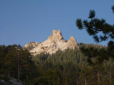 Tharps Rock from our campsite at Mehrten Creek |