Split
Mountain 2012
Into Upper Basin
Saturday, August 18, 2012
Index <<Previous Next>>
The rest of the gain to the pass awaited on this day. Above the waterfall there are switchbacks and accompanying elevation gain. Much of the trail up here is made of small tennis-ball-sized rocks, which can be hard to walk on as they like to shift around. This can be especially bad going downhill. The last section before the pass involves traversing around ponds and rock piles to get to the actual pass, with signs announcing that you are entering Kings Canyon National Park. The pass is at 11,352 feet elevation. We descended into the valley and left the official trail part way down to veer north. We followed the old trail (shown on the map above) for some time, but eventually left it to head more to the north. We had originally intended to reach the lake below Split Mountain today, but with the weather and our tiredness, we called it a day short of that goal, camping off of the JMT in the trees.
Journal Entry: Got started around 8am, up to Taboose Pass by 12:30. Sprinkles started, then heavier rain and a bit of hail. Lasted most of our downhill hike. Left the trail to cut north to the JMT. We saved maybe 200 feet of elevation. Followed the JMT north, dark clouds were hovering so we set up camp. Got some raindrops here at camp, sky is still clouded over at 7pm. Tomorrow we continue north.
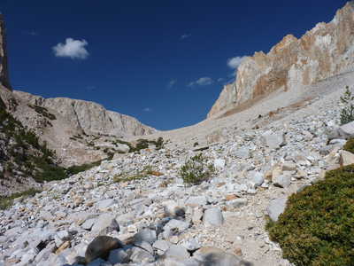 Looking up toward Taboose Pass |
 Rocks to the south of the trail |
|
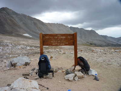
Old sign on the pass, and our packs
|
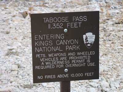 Newer sign on the pass |
|
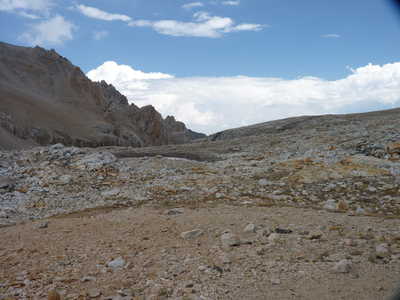
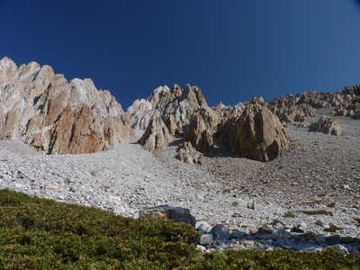
Looking back toward Taboose Pass
|
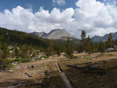 John Muir Trail in Upper Basin |