Split
Mountain 2012
Back Over Taboose Pass
Friday, August 24, 2012
Index <<Previous Next>>
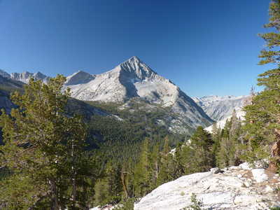
The trip felt like it was starting to wind down now. We followed our route from 2006 down into the valley of the South Fork Kings River. But instead of turning right at the bottom into the Muro Blanco canyon as we did in 2006, we turned left. We thought the hike from here to the JMT would be easy, but it was not so. But in time we made it to maintained trail which really marked the trip winding down!
Journal Entry: Long day, clouds but no rain. Started down the trail to S. Fork Kings, trail is fairly distinct. In the valley, lots of downed trees slowed progress but we found a good trail on the north side of the river that took us to the JMT, arriving around noon. Then we headed south on the JMT and east on the Taboose Pass Trail. Got to the pass around 3:30, and headed down to the waterfall campsite, arrived around 6. Tomorrow back to the car!
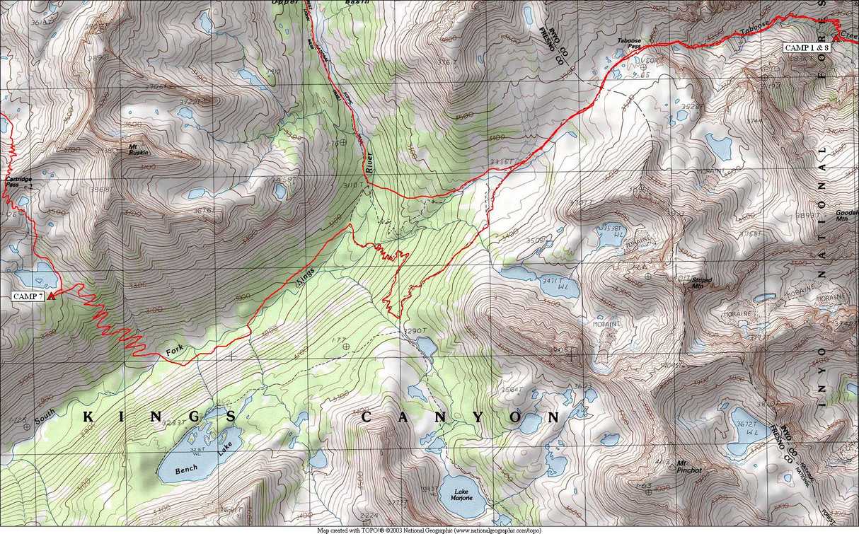
 Arrow Peak | 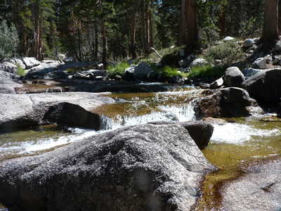 South Fork Kings River where JMT crosses | |||
 Upper Basin |
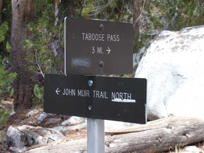 Trail sign (our only official trail junction of the whole trip) |
|||
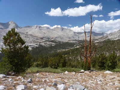 Upper Basin |
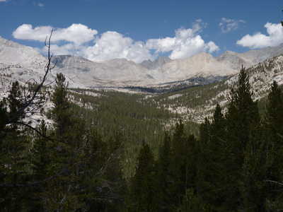
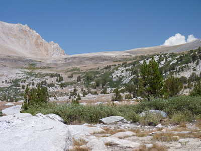 Taboose Pass from the west |
|||
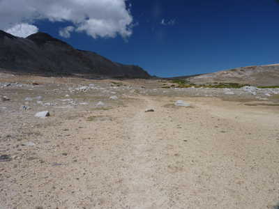 Lonely trail... |
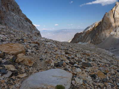 Interesting mix of rocks on east side of Taboose Pass |