Tanzania 2016
Mt. Kilimanjaro
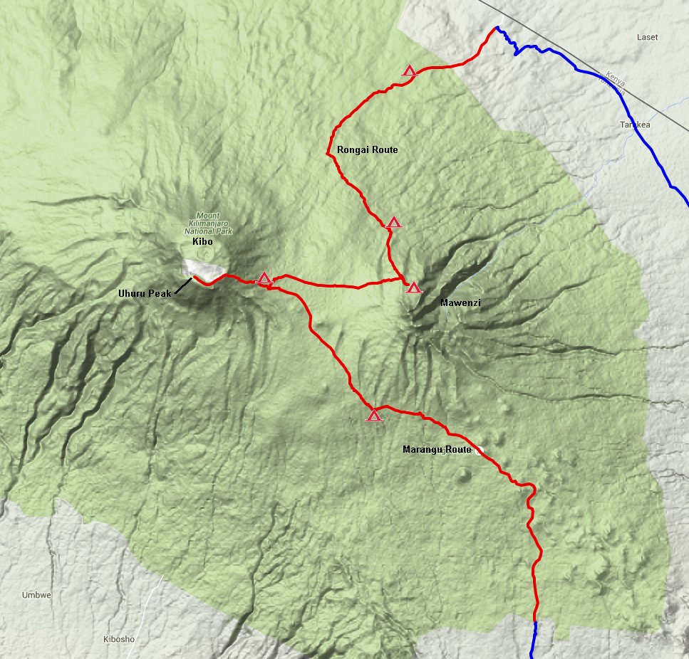
The map above
shows the trekking route in red with the campsites indicated. We
started at the top of the map where the blue meets red at Rongai Gate,
and ended at the bottom at Marangu Gate. Kilimanjaro has three
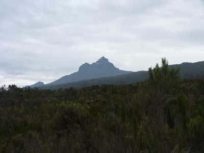
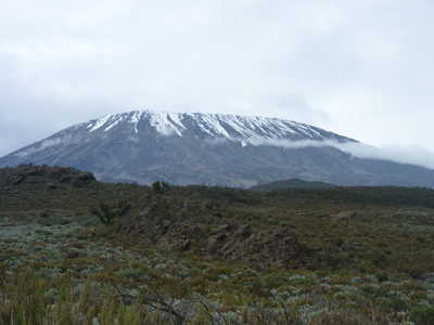
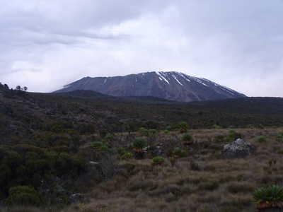
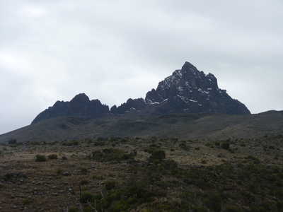
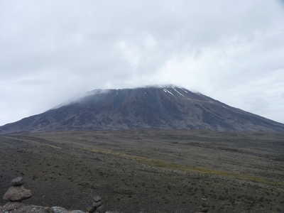
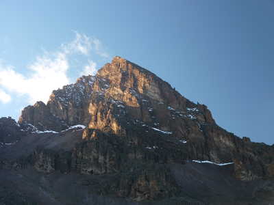
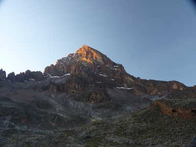
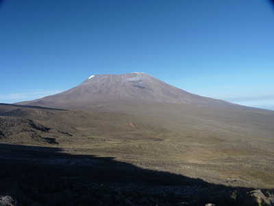
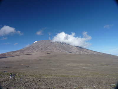
sub-peaks, two of which are shown here. Kibo is the center peak
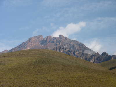
and is the highest. Mawenzi was a frequent view for us throughout
our trip. The third peak, Shira, is to the west of Kibo. We
never saw Shira. The summit of Kibo is referred to as Uhuru
Peak. This is the high point of Kilimanjaro, and Africa, at 5895
meters = 19,341 feet.
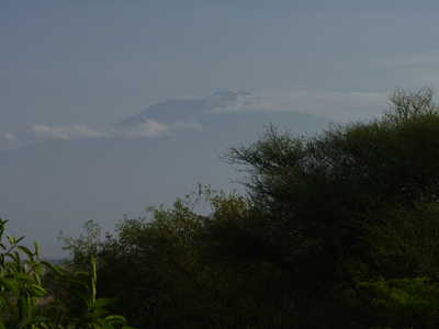
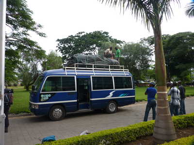
To
get to the start climb, our guides picked us up at our hotel in Arusha
with a bus that had a roof rack loaded with the gear and food we would
need. Our bags were added and we were off for the long drive to
Rongai Gate right on the border with Kenya. We started trekking
mid-afternoon. The table below shows the elevation and distance
of each day:
|
date |
start elevation (ft) |
end elevation (ft) |
net ascent (ft) |
distance (mi) |
hours |
|
10 Jan |
6560 |
8660 |
2100 |
4.3 |
5 |
|
11 Jan |
8660 |
11650 |
2990 |
7.4 |
9-9.5 |
|
12 Jan |
11650 |
14110 |
2460 |
2.5 |
4-5 |
|
13 Jan |
14110 |
14110 |
0 |
1.2 |
2-3 |
|
14 Jan |
14110 |
15580 |
1480 |
5.3 |
5-6 |
|
15 Jan ascent |
15580 |
19340 |
3760 |
3.1 |
14-15 |
|
15 Jan descent |
19340 |
12210 |
-7140 |
9.3 |
|
|
16 Jan |
12210 |
6230 |
-5970 |
13.6 |
5 |
|
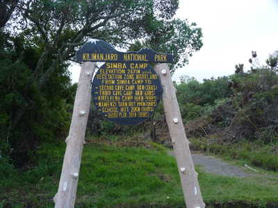
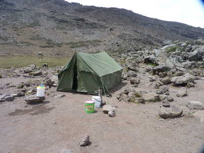
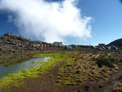
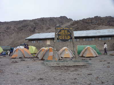
Ascent to Kibo Hut camp The
ascent of Kilimanjaro cannot be done too fast due to the need to adjust
to the altitude. Our itinerary allowed for a five day ascent to
the base camp we used for our "summit push," including one rest day
where we stayed at the same camp for two nights with a short
acclimation hike on the day between. With this itinerary, most of
us didn't have too much trouble with the elevation gain.
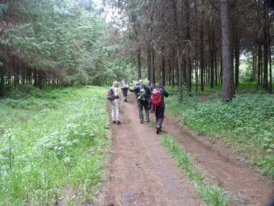
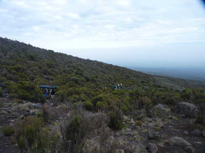
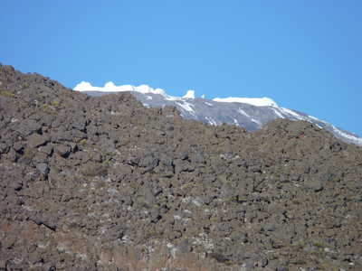
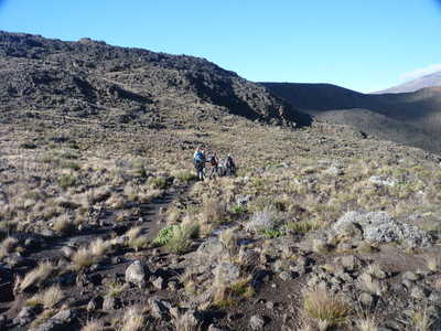
The ascent starts in the forest outside the national park, with fields of crops being grown by local residents. By the middle of the second day, we were above treeline where we would remain until the last day on the mountain.
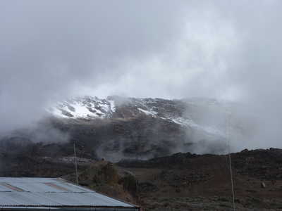
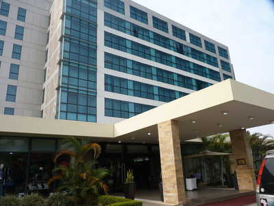
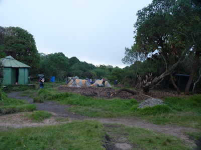
Kilimanjaro in the haze, packing the bus, and Mt. Meru Hotel, our base in Arusha
First camp, Mawenzi
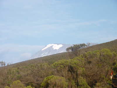
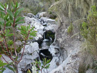
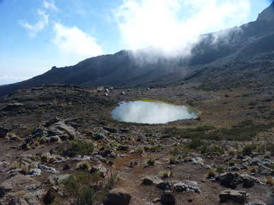
Two views of Kibo and a small cascade
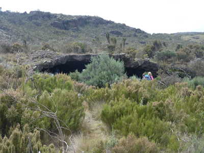
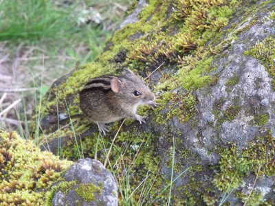
First cave, four striped mouse, second camp at Kikelewa Caves
Kibo, Mawenze, porter on trail
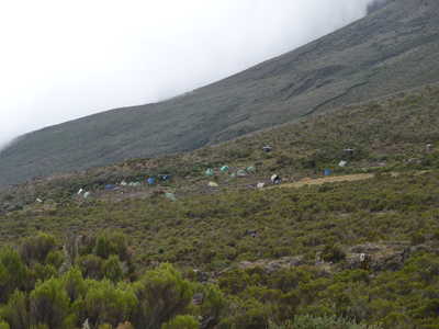
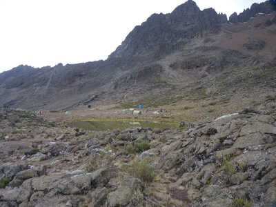
Kibo Hut camp in the distance, Kibo, Mawenzi over third camp at Mawenzi Tarn
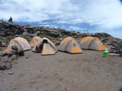
Our tents at Mawenzi Tarn camp, dining tent, Mawenzi looming above camp
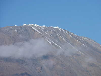
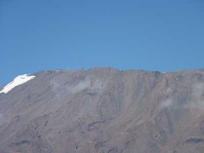
Clear view of Kibo with glaciers, Mawenzi Tarn and camp
Mawenzi and two views of Kibo
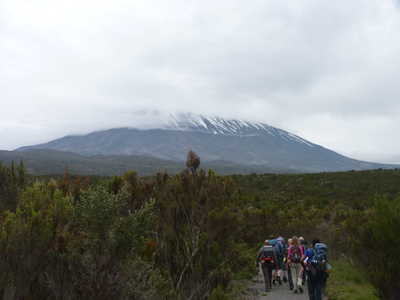
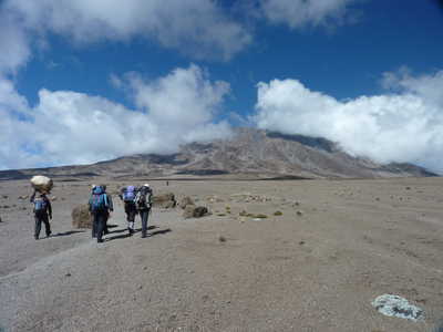
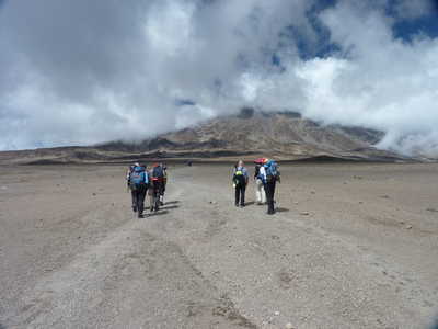
Views of Kibo and the trail through the "alpine desert"
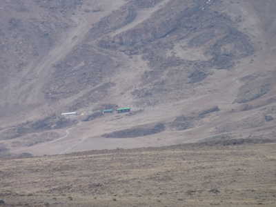
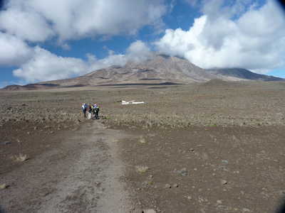
Across the saddle toward our summit base camp at Kibo Hut
|
| Summit Day Summit
day actually started at 10:30pm the night before, with a wakeup call to
get ready for the climb. We started the climb at 11:30 under the
light of our headlamps. There were stars in the sky as we pushed
upward slowly ("pole pole" as the guides repeated endlessly, means
"slowly, slowly"). The elevation gain from camp to the summit is
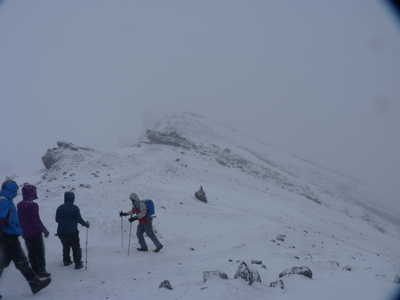
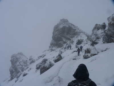
nearly 4000 feet. As we approached the crater rim, the trail
turned into more of a rock scramble and snowflakes began to fall.
Gilman's Point is where you first reach the crater rim, and we took a
short break here. By the time we left, the wind was blowing and
snowflakes continued to come down. In the dark, we made our way
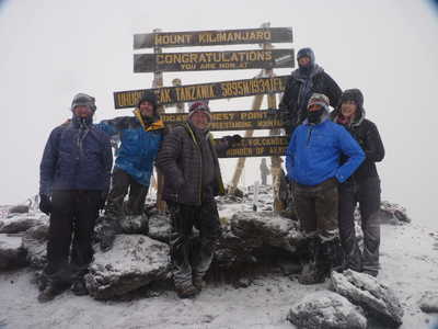
around the crater rim to Stella Point, and then finally to Uhuru Peak,
the high point on the mountain. By now, it was starting to get
light and it was evident that we would not have any wide-ranging views
due to low clouds everywhere. We posed for our picture at the
summit sign, then started making our way back down by the same route we
ascended. We stopped on the way back for more pictures at Stella
Point where there weren't as many people waiting for their own pictures
as at Uhuru. The trek back down to Kibo Hut camp was somewhat
treacherous as the snow had gotten deeper and extended much further
down the mountain than when we had ascended. We all trickled back
into camp between 9:30 and 11:00 or so, and had a short rest there
before lunch and our afternoon move to the next camp.
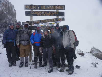
Camp at Kibo Hut, the group at the summit sign, blizzard conditions
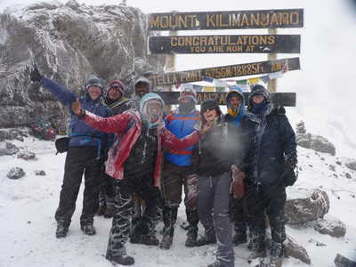
The group at Stella Point including our guides
|
|
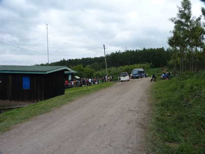
Descent to Marangu Gate The
descent was much quicker than the ascent, as there is no need to worry
about acclimation to altitude and most people hike downhill much faster
than uphill. We were on the Marangu Route for our descent, which
was much more crowded as this is one of the most popular routes on the
mountain, and it is used for ascent as well as descent. We passed
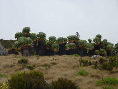
an area with many senecio trees on our way to Horombo Hut camp at
12,200 feet. This represented a total of over 7000 feet of
elevation loss from the summit. The last day of the trek involved
another 6000 or so feet of elevation loss to the Marangu Gate where our
bus was waiting to take us back to Arusha. Back in the trees we
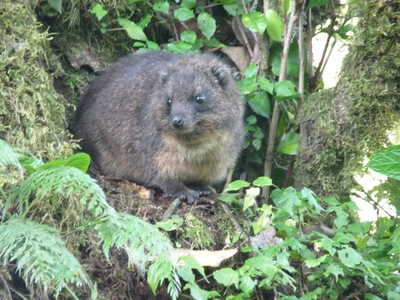
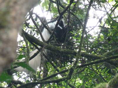
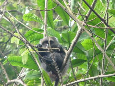
saw a tree hyrax in a tree who kept perfectly still for pictures, as
well as some monkeys further down.
Brief clearing on Kibo late morning, Senecio trees, Kibo from the descent route
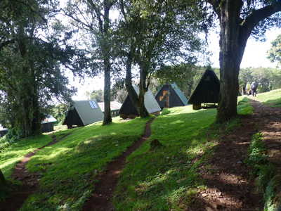
Mawenzi from the south, tree hyrax, Mandara Hut
Colobus monkey and blue monkey seen on lower section of trail the last day |