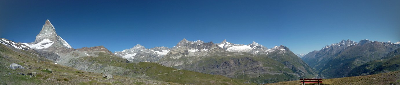
Panoramic view from above Zermatt, with the Matterhorn at left, and Zermatt in the valley just above the bench
July 13 - 21, 2018
The Tour de Monte Rosa is a trek in Switzerland and Italy that goes around the highest mountain in Switzerland, Monte Rosa (4634m = 15,203ft). I was with a guided group for this trip. We were carrying everything we needed on this trek (no porters or luggage transport), but each night was spent in a hotel or rifugio (mountain hut), so no tent, sleeping bag, or mattress was needed. In addition, dinner and breakfast was served at each accommodation, and a packed lunch was provided in the morning before we left on the day's trek. So we didn't need to carry any cooking gear, and carried food was limited to the day's lunch. My pack including water for the day was around 20 pounds, about half the starting weight for a week long backpacking trip in the Sierra. But the trip involved a bit more mileage and way more elevation gain/loss per day than I am used to from other trips. This made the trip quite a challenge!
We had pretty good weather on this trip! There was very little rain while we were trekking, but low clouds frequently obscured the higher mountains, especially in the afternoon. We had one thunderstorm while descending from the pass on the second day, but it only lasted about a half hour and the sky cleared nicely after it was done! We had rain several evenings after we were already inside for the night. Some mornings, while at lower elevation heading uphill, many of us were sweating quite a bit. Most of the climbs were in comfortable temperatures however, and the cloud cover gave us much built-in shade which helped.
Although
near high mountains, the highest we trekked on this trip was the
Theodulpass (3295m = 10,810ft) on the border between Switzerland and
Italy. Wildlife
was relatively rare, with a few sightings of ibex, and some of us saw
marmots. There were lots of wildflowers just about everywhere we
went!
A brief compare and contrast
between the Alps and the Sierra Nevada (my home mountain range)
| European Alps |
Sierra Nevada |
|
| topography |
steep
with deep valleys between mountains |
more
moderate elevation difference in most areas |
| water |
lots
of glaciers, not many lakes |
lots
of lakes, not many glaciers left |
| development |
lots
of ski-related development in remote areas and villages in remote
valleys |
little
or no development in most high areas |
| weather |
frequent
low clouds, more frequent rain, more green vegetation |
afternoon
thunderstorms less frequent but common, brown vegetation in summer at
lower elevations, summer fires |
| accommodations |
mountain
huts and hotels |
no
buildings in most high remote areas, need to carry food and bring a tent |
Map
Below
is an interactive map of the trek. The red tracks are walking,
the blue tracks are bus or cable car. Days in which we took other
transportation have multiple tracks to cover the day. The purple
line across the middle is the Switzerland / Italy border. The
green bed symbols are accommodations for each night. We started
and ended in Saas Grund, and went clockwise around the loop.
Click here for a full-page version of the interactive map
Click here to download the kml file of the tracks to load into other software like Google Earth