Mt. Tyndall and Wallace Basin 2009
Symmes Creek to Mahogany Flat
Friday, August 21, 2009
Index <<Previous Next>>
|
|
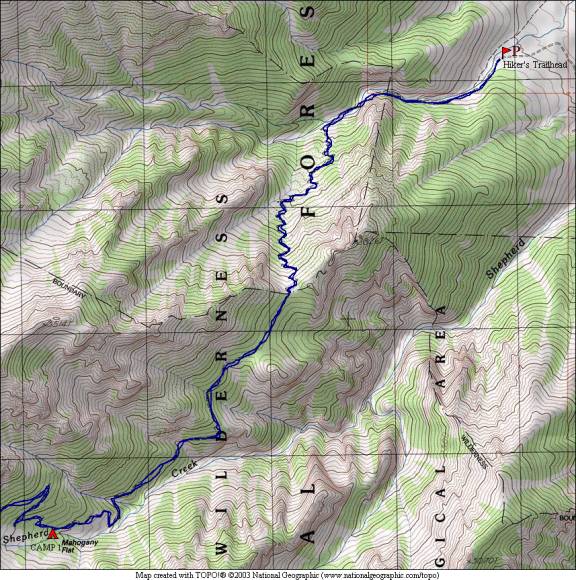
Started with a big uphill! Had hoped to reach Anvil Camp, but we stopped 1000 feet of elevation short at Mahogany Flat. Lots of lizards in the middle sections of the trail. There was no water between the fourth (last) crossing on Symmes Creek and just before Mahogany Flat.
Journal Entry: Start of annual backpacking trip with Ron. This year’s adventure started with a drive down to Grays Meadow campground west of Independence yesterday. Short drive to the Shepherd Pass trailhead this morning, on the trail around 8am. Trail starts in the desert at around 6300 ft, and first follows Symmes Creek up toward the crest. The trail leaves the creek and heads over a divide to Shepherd Creek. We are camped tonight at Mohogany Flat at around 9200 feet. Got here around 4. The weather was sunny and hot this morning, with clouds arriving later and just a few sprinkles. Sky now (6pm) is cloudy but it looks to be dissipating. Tomorrow we continue to Shepherd Pass. |
|
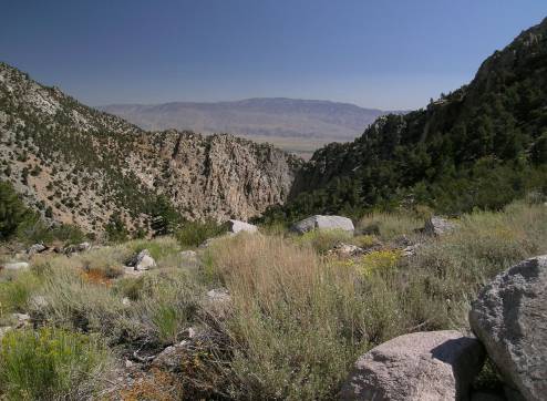
Valley of Symmes Creek |
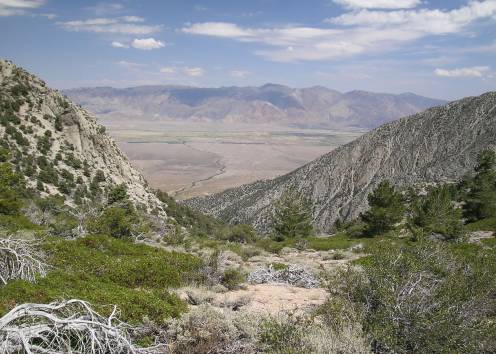
Valley of Shepherd Creek, Owens Valley |
|
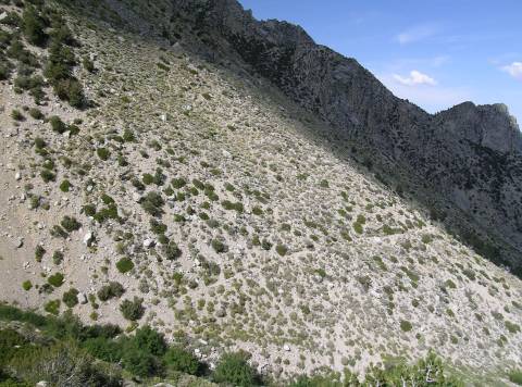
The trail crosses a slope |
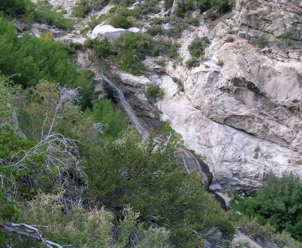
Waterfall on a tributary of Shepherd Creek |