Mt. Tyndall and Wallace Basin 2009
Tyndall Creek to Wallace Lake
Sunday, August 23, 2009
Index <<Previous Next>>
|
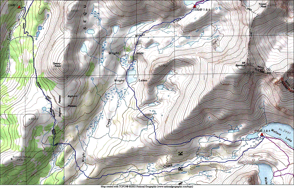
Long distance covered on the
map again, from the upper left to lower right corners of the map shown
here. The first half was
on-trail, and the last half was essentially on-trail also, as there
used to be a trail to Wallace Lake and it is still fairly good in many
areas. Journal
Entry: Sprinkled
most of the night last night, woke up to wet tents. After mostly drying things out, we
headed south on the JMT over Bighorn Plateau. Puffy clouds were around and building all morning. We left the trail just before the
Wright Creek crossing and angled toward Wallace Creek. We eventually found the old trail
and followed it most of the way to Wallace Lake. Sprinkles were falling mid-afternoon. Got to camp at Wallace Lake at 3:30
or so, set up our tents in sprinkles, just in time for some hail and
heavier rain. It was fairly
short-lived, and now around 6:30 we have some sun and clouds seem to be
dissipating. Hoping for nicer
weather tomorrow for our day trip up to Tulainyo Lake . |
|
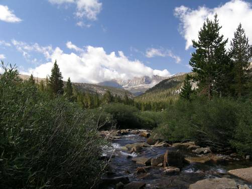
Tyndall Creek looking upstream and Diamond Mesa |
Tyndall Creek looking downstream and the Kaweahs |
|
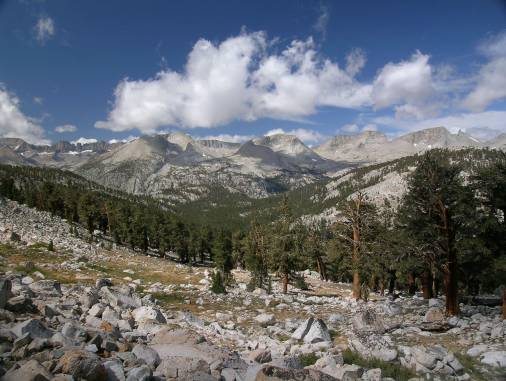
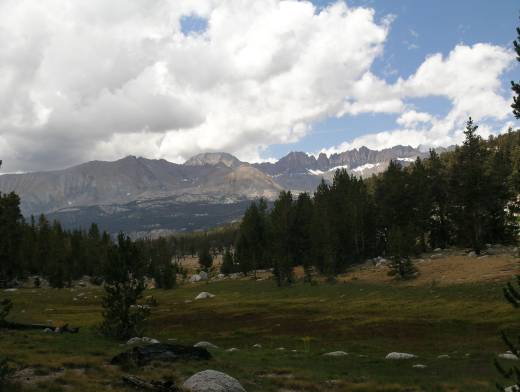
Valley of Tyndall Creek and the Great Western Divide |
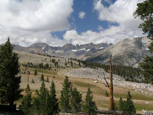
The Kaweahs and Kaweah Basin from Bighorn Plateau |
|
Milestone Basin from Bighorn Plateau |
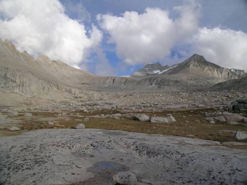
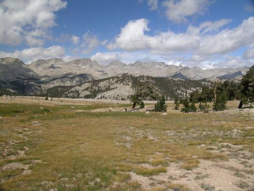
The Kaweahs from Wright Creek |
|
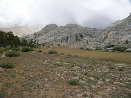
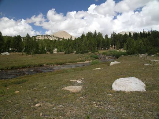
Wright Creek and Tawny Point |
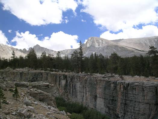
“The Grand Canyon of Wallace Creek” |
|
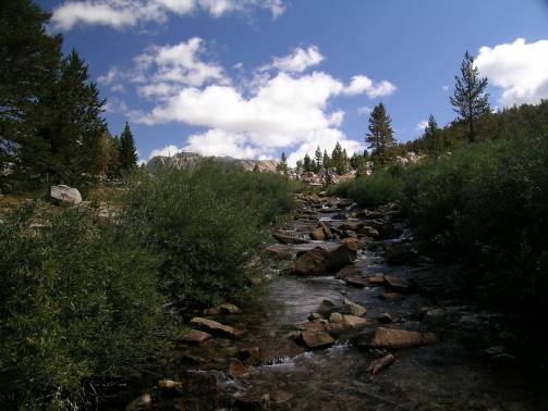
use trail to Wallace Lake |
Mt. Russell (peak in back with snow) from Wallace Lake |