Kaweah Basin 2020
Tyndall Creek to Junction Meadow
Sunday, August 23, 2020
Index <<Previous Next>>
The
trail leading directly to the Kern River canyon along Tyndall Creek is
not even shown on some newer maps, and is marked as unmaintained on
others. We didn't have much trouble following it. The Kern
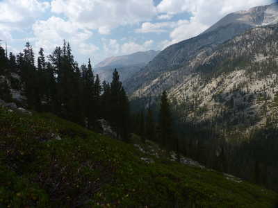
Canyon is a deep, nearly straight north-and-south canyon between the
Great Western Divide and the Sierra Crest. We had to cross this
trench in both directions, which added quite a bit to our elevation
gain/loss on this trip!
Journal Entry: Got started 8:30 or so, followed trail down to Tyndall Creek Ranger Station, Ranger Rob was there and we had a chat. Said forecast for 40% chance storms today, less tomorrow, then good! Clear skies this morning but clouds building as we went down the sandy switchbacks of Tyndall Creek trail. Most of the trail was easy to follow, with some faint spots. Would not want to come up these switchbacks! Thunder and light intermittent sprinkles last two miles to Junction Meadow. Saw only four people—all after the HST junction (not counting the ranger). Got to camp at 1:00, set up and prepared for rain. At 2:20, just intermittent sprinkles, haven’t heard thunder for a while. Tomorrow we head off trail!
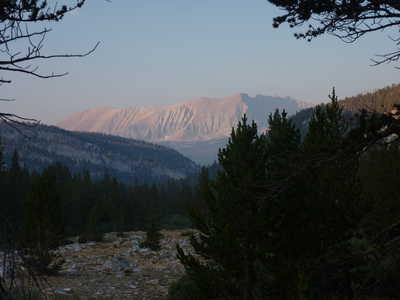 Red Spur in morning light |
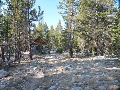 Tyndall Creek ranger cabin |
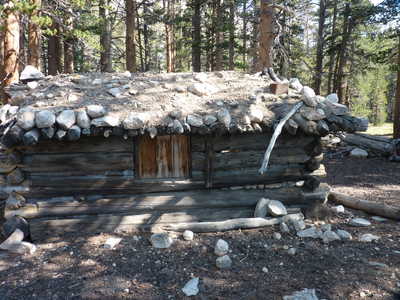 old cabin along Tyndall Creek | 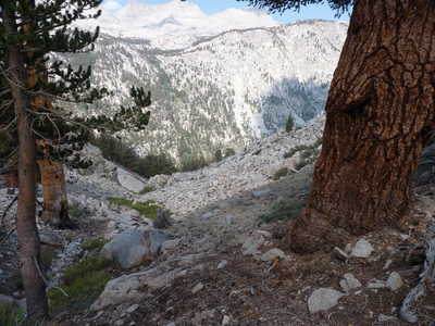 drop to Kern Canyon ahead |
 Kern Canyon view south | 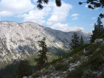 Kern Canyon view north |
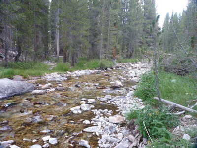 Kern River | 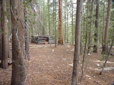 roofless cabin |
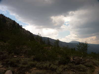 dark clouds building over Mt. Guyot | 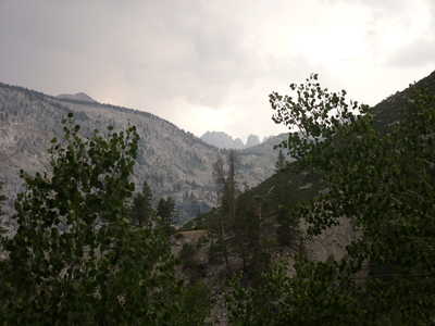 Second Kaweah and Squaretop visible |