Kaweah Basin 2020
Wallace Creek to Anvil Camp
Friday, August 28, 2020
Index <<Previous Next>>
We
continued our alternate return route over Bighorn Plateau with
panoramic views of the Kaweahs and the Great Western Divide to its
north. We got through before the smoke rolled in just before
noon. We then joined up with our route in at Tyndall Creek to
take Shepherd Pass back out.
Journal Entry: Another cold night—down to 35F. Sun took a while to arrive but we got going early enough. Uphill to Bighorn Plateau with panoramic views to the west. Then down to Tyndall Creek around 11:30. Smoke was obscuring views by then. Long walk up to Shepherd Pass—arrived before 2pm. Then down to Anvil camp, arrived around 3:15. Found a secluded camp downstream a bit on the south side of the creek. A few others here, more may arrive later! Tomorrow we hike out!
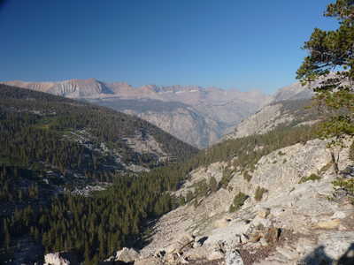 looking down Wallace Creek to the Kaweahs |
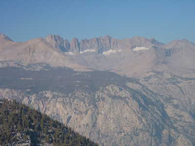 closer look at the Kaweahs, a bit hazy |
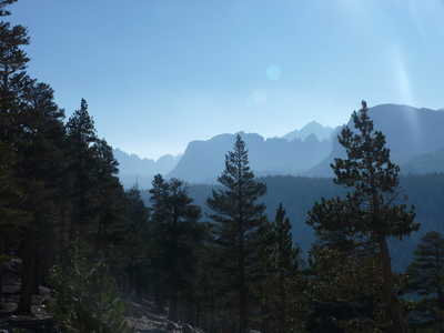 silhouettes of the mountains on the crest | 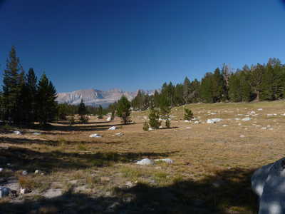 Red Spur and Kaweahs in the distance |
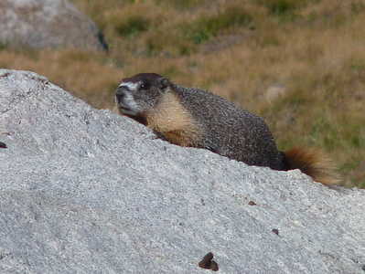 marmot south of Bighorn Plateau | 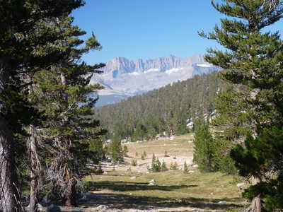 more views of the Kaweahs |
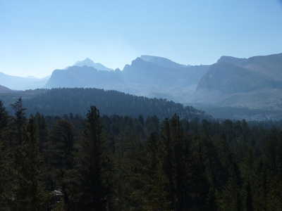 Mt. Russell and Mt. Whitney | 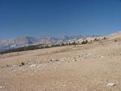 Red Spur and Kaweahs |
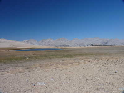 lake on Bighorn Plateau with Great Western Divide | 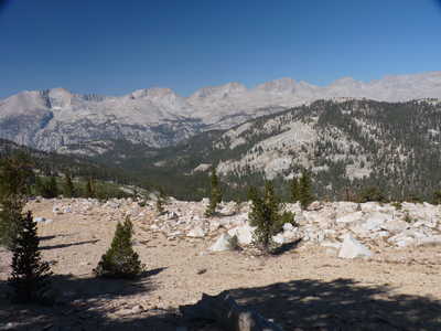 Great Western Divide over Tyndall Creek valley |
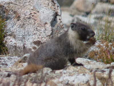 marmot west of Shepherd Pass | 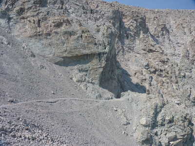 first part of trail descending Shepherd Pass |
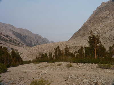 rocky terrain in smoky orange lighting | |