Minarets and Ritter Range 2010
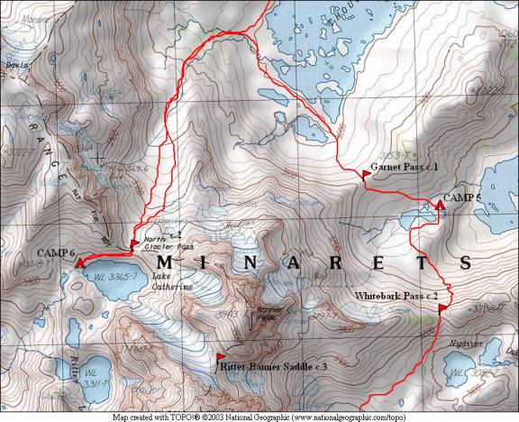
Garnet Lake to Lake Catherine
Wednesday, September 1, 2010
Index <<Previous Next>>
|
|
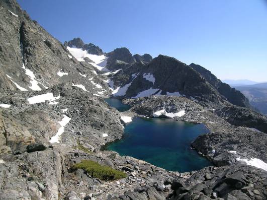
Today we were prepared to reach our high point of the trip, and the only “true” alpine campsite of the trip (no trees!). Lake Catherine is “behind” Ritter and Banner, and is at just over 11,000 feet elevation.
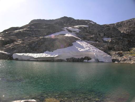
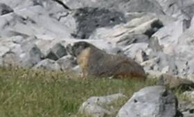
Journal Entry: Started hiking around 9am, over Garnet Pass by 9:30—easy walking. Down to Thousand Island Lake and between lakes at the end. Headed uphill toward North Glacier Pass—good use trail over the first part. Talus and snow fields for the final approach—but snow was easily avoided. Short downhill over more talus to Lake Catherine. Found campsites near the outlet. Awesome views from this lake! Group of four camped nearby, hiked up from the North Fork San Joaquin River. Lots of pikas around here! Took a short hike up some rocks to catch a view of Ritter Lakes and wider view to the east, where a few ridges are visible. Tomorrow we re-trace our path back down to Thousand Island Lake.
North Glacier Pass Marmot |
|
Banner Peak in the morning |
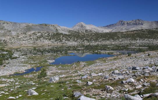
Thousand Island Lake from Garnet Pass |
|
Looking back at Garnet Pass (easy terrain!) |
infant Middle Fork below Banner Peak |
|
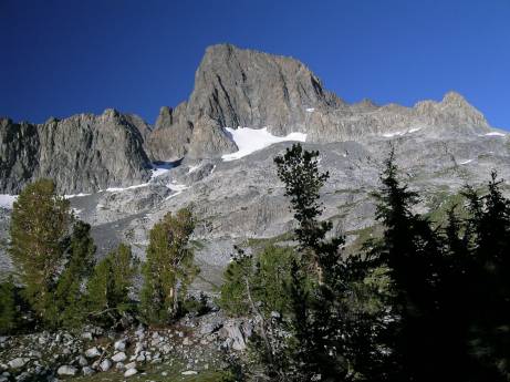
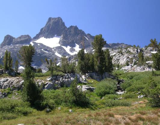
majestic Banner Peak |
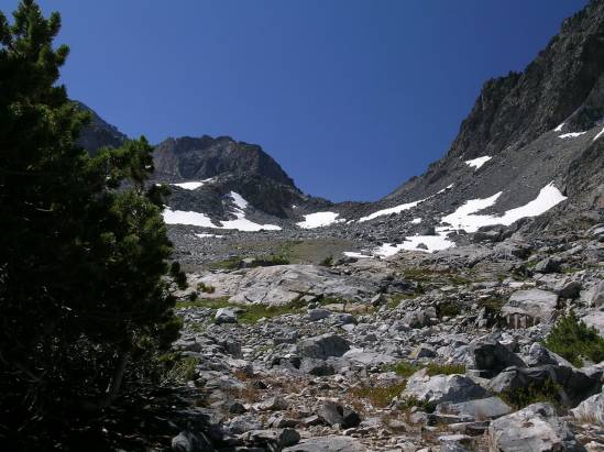
North Glacier Pass (false summit visible) |
|
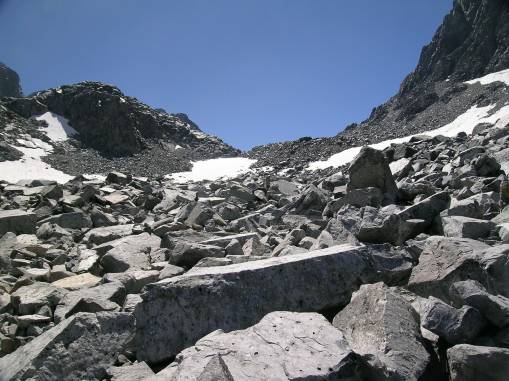
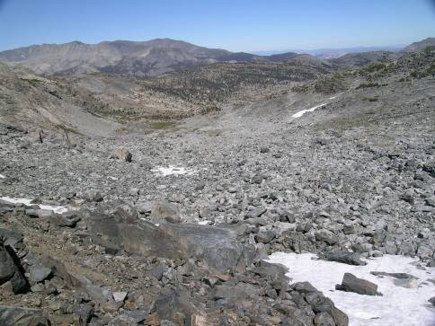
large talus on approach to North Glacier Pass |
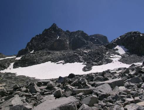
Banner Peak from the “side” |
|
looking back from near the pass |
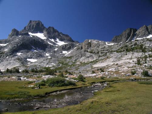
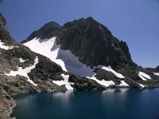
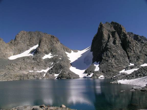
Mt. Ritter over Lake Catherine |
|
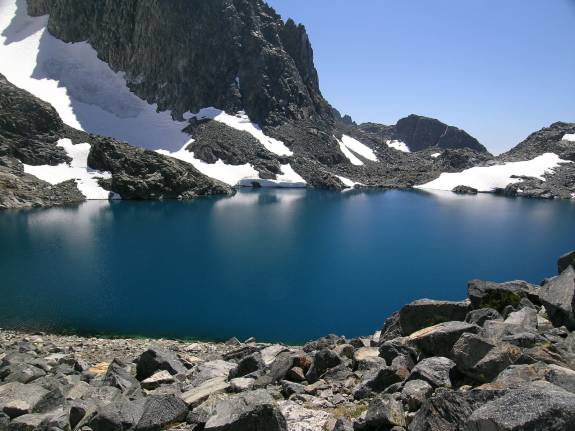
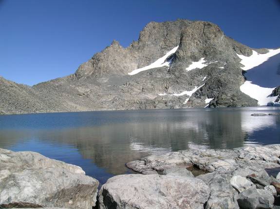
beautiful blue Lake Catherine |
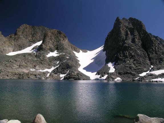
Banner Peak and Mt. Ritter Ritter/Banner Saddle between them with glacier |
|
Banner Peak and Mt. Ritter |
North Glacier Pass to the left of Banner Peak |
|
another view of North Glacier Pass |
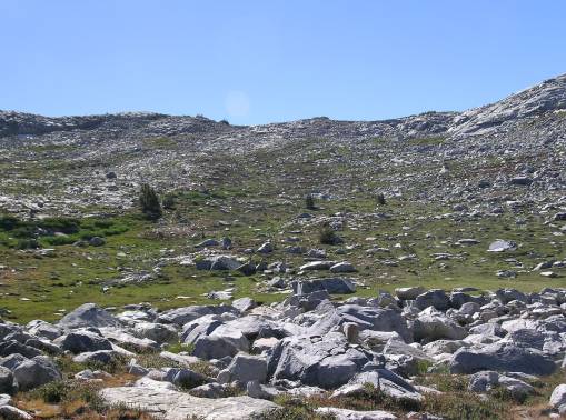
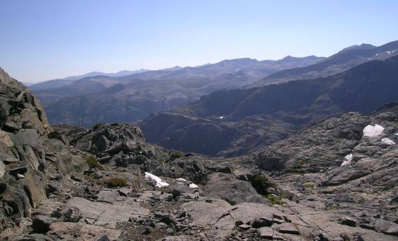
view of the pure wilderness to the west |

|
Ritter Lakes |
small lakelet at outlet of Lake Catherine |