Nepal 2013
Everest Base Camp Trek
Descent from Everest Base Camp
October 30 to November 3
The descent was much quicker than the ascent, as we didn't need to spend extra time acclimating to the elevation, plus it was now more downhill than uphill (although there was still a share of uphill!). The route we took varied a bit from the route in, but also followed the same trails part of the time.
From Lobuche to Pheriche we followed the same trail first half of the day, then took a new trail that stayed close to the river for the second half. The river valley ahead of Pheriche was quite windy. Next day from Pheriche to Phortse had interesting weather. After crossing a small pass, we joined up again with the trail we had taken to Dingboche on the way in. Before Pangboche, we left that trail to take a higher trail that traversed high above the Imja Khola river. Low clouds had come in though, and we couldn't actually see down into the river valley very much. Some of the time we could only see 50 feet around us! The fog thickened and remained as we arrived in Phortse late afternoon.
Next morning was clear as usual, and we could see that there were mountains around Phortse! Phortse is on a ledge above two valleys. We first had to drop into one of the valleys, cross the Dudh Koshi river coming from Gokyo, and then climb up to Mong La, which has a small village. The trail then contoured high above the river to eventually join up with our original trail that would take us back to Namche. From Pangboche the day before to this trail junction we saw much less trekking traffic than on the rest of the trip. Most trekkers take our incoming route through Tengboche both directions.
From this point we followed the same trail all the way back to Lukla. We stopped for lunch in Namche, then dropped down to the high suspension bridge and then down into the Dudh Koshi river valley. We spent the night in Monjo, and then had our last trekking day back to Lukla, which was socked in with low clouds afternoon and evening. Next morning we had breakfast at 5am as we had an early flight scheduled. The weather had a different plan for us though. Low clouds remained around Lukla and no planes were flying. Reportedly there were no flights the last two days due to clouds. The clouds were thin enough though for a helicopter to fly in, and we arranged to travel out that way for an extra US$200 per person. By the time we were ready to fly and headed to the airport, planes had begun fllying again! First one arrived in Lukla at 8:30am. We took off on the third plane of the day at 9:10 and arrived in Kathmandu at 9:45! Great end to a great trek!
|
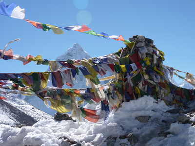
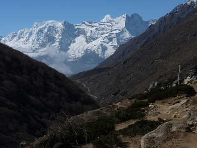
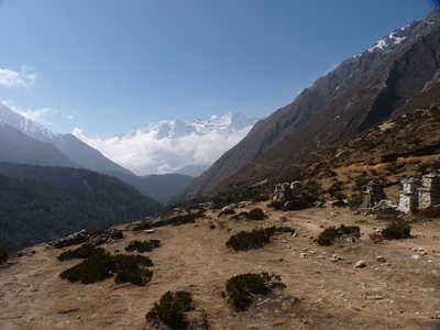
Ama
Dablam behind flags and chorten, Ama Dablam with peaks west, view north
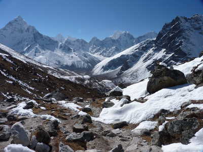
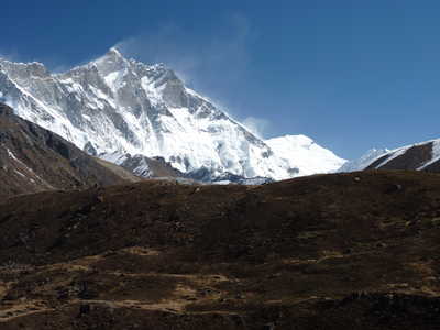
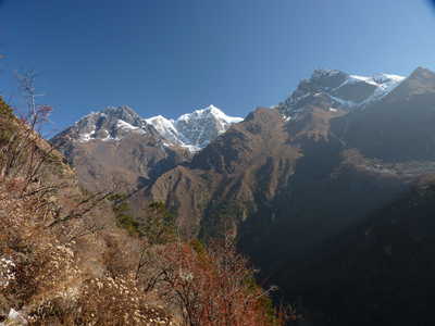
from Pheriche (Cholatse on left, Lobuche East on right)
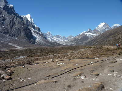
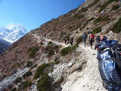
Lobuche East up-valley from Pheriche, trekking on the terracing trail, Lhotse
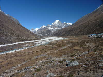
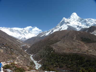
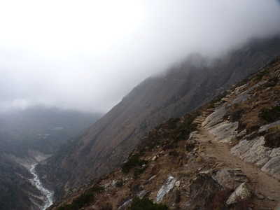
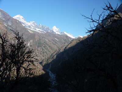
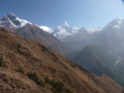
Valley with trail looking forward, Lhotse and Ama Dablam behind us, low clouds in the valley ahead
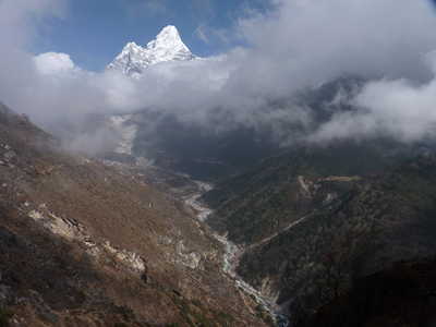
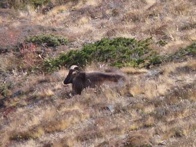
Trail far above river, Ama Dablam emerges over clouds, Himalayan Thar (wild animal)
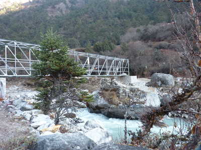
Phortse in the morning, looking up valley toward Gokyo, bridge over Dudh Koshi below Phortse
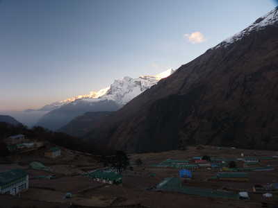
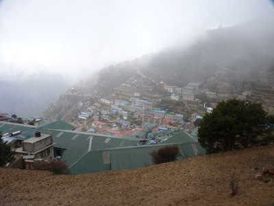
Tobuche to the north, Ama Dablam in the distance, Namche Bazar in low clouds
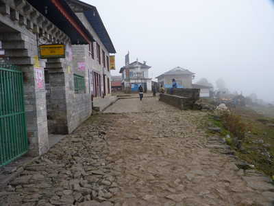
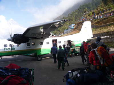
Lukla street, our plane to Kathmandu in Lukla |