Nepal 2013
Annapurna Circuit
Up to Ghorepani and on to Pokhara
October 15 to October 20
From Tatopani there are two primary options. The classic Annapurna Circuit heads away from the river up the south slope of the valley, rising 5500 feet from Tatopani (3904 ft) to Ghorepani (9383 ft), then dropping 5900 feet to Naya Pul (3510 ft) where you can catch a bus to Pokhara. The other option is to continue down the Kali Gandaki valley to the town of Beni, where you can also catch a bus to Pokhara. The primary attraction of going up to Ghorepani is that you can do a side trip from there to Poon Hill (10,476 ft), which has an excellent view of the Annapurna range. Due to renewed bad weather I didn't make the trip to Poon Hill, but I did take the route over the hill via Ghorepani to finish the circuit.
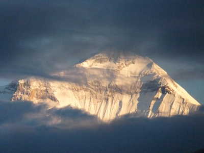
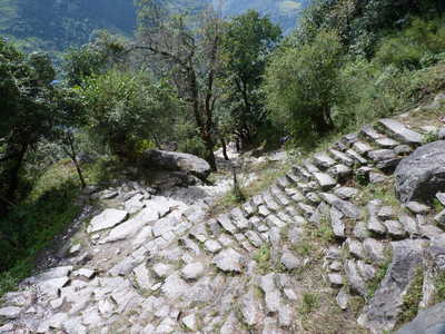
After a rest day in Tatopani with rain, the rain stopped for the whole night. Unfortunately, it started up again at 6am, just in time for first light. I had no more time to spare though and had to start hiking again. I elected to split the 5500-foot gain into two days with an overnight in Shikha (6350 ft). This was the only day I hiked in rain that was heavy enough to get me wet. Between the rain and low clouds, the hike wasn't very pleasant, but I arrived late morning in Shikha and had the afternoon to try to dry out. The rain continued through that night, but stopped by 7am the next day! So I had a rainless hike to Ghorepani, but sweat kept me from staying dry. Humidity was high and there was no breeze to speak of. Patches of blue sky were teasing throughout the morning, I still had some hope of some views on a trip to Poon Hill. It was not to be though, as low clouds stubbornly stuck around the rest of the day and were still with us the next morning. We did have a brief sunrise-lit view of Dhaulagiri from the guest house early morning though! I headed out at 7am for the long hike downhill to catch my bus to Pokhara. This part of the hike was on trail rather than road (a road goes from Tatopani to Ghorepani but has almost no traffic), but there are thousands of rock steps past Ulleri that beat my feet to a pulp. I stopped for lunch in Birethanti, where it started to sprinkle while I was eating. I hiked the last 30 minutes or so to Naya Pul in light rain.
The bus stop area in Naya Pul consists of a few restaurants along the side of the road, and it was a madhouse with trekkers waiting for their chartered bus or taxi. I took a local bus, which cost Rs 150 from here to Pokhara. My pack was thrown on the roof (luckily I had kept the rain cover on it), and I was nervous that it was going to fly off somewhere on the route. The bus was standing room only, but wasn't too hot inside if we were moving as open windows provided a breeze. The ride took about two hours, and I got a seat in the back for the last few minutes after people had gotten off in the outskirts of Pokhara. From the stop in Pokhara I was happy to find my pack was still on the roof of the bus! I took a taxi to the Lakeside "tourist district" and checked into a guest house there. I was happy to be there, ready for a few days to recharge before my next trek.
In
Pokhara, the weather continued to be unsettled, with some short
downpours in the afternoon. I stayed three nights. On the
morning I was leaving, there was a nice view of the Annapurna range
from the city. I snapped a few pictures from in front of the
airport, but they were nothing special with all of the obstacles in the
way. But all in all, I did see most of the mountains in the area
at some point, but didn't necessarily realize it until I went through
the pictures and identified the peaks (with the help of Google Earth)!
|
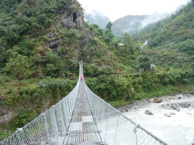
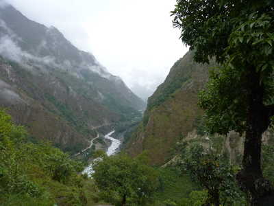
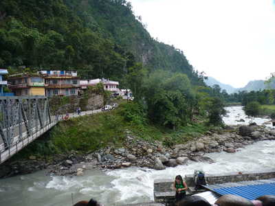
Last bridge over the Kali Gandaki, rising above the Kali Gandaki
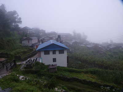
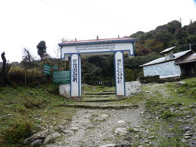
Morning fog in Shikha, arch entrance to Ghorepani, Dhaulagiri at sunrise from Ghorepani
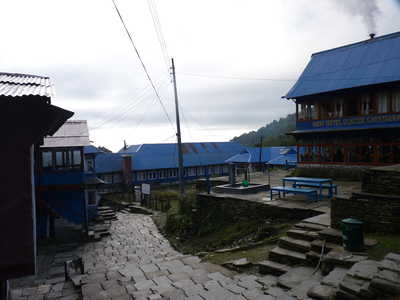
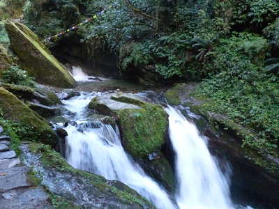
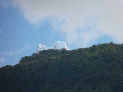
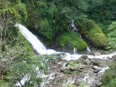
Main Street in Ghorepani, waterfall, Machhapuchhre (22,956 ft, also known as "fish tail")
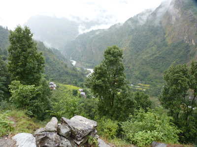
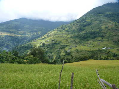
Grueling rock steps and other scenes from the trek downhill
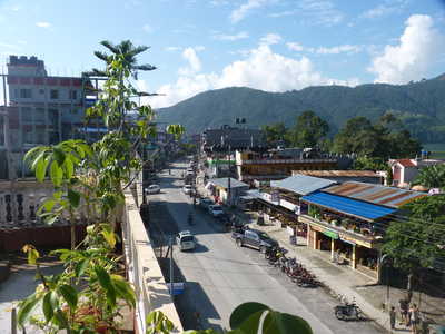
Bridge in Birethanti, scenes in Pokhara
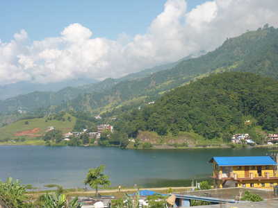
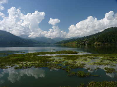
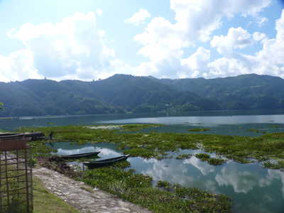
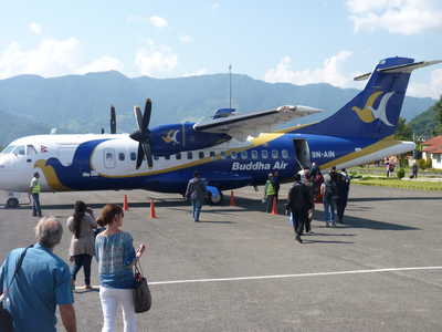
Phewa Tal in Pokhara, boarding the plane to Kathmandu |
