Nepal 2013
Annapurna Circuit
Descending the Kali Gandaki valley
October 8 to October 14
After crossing the pass, the circuit follows the Kali Gandaki river down its valley to Tatopani. This was to be my task for the next week or so. A road comes all the way to Ranipauwa, so it is possible to take a vehicle from here to either Jomsom (which has an airport), or all the way to Pokhara. Again, I elected to walk instead. After seeing them load the jeeps like a can of sardines I was glad!
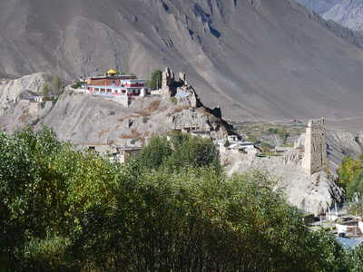
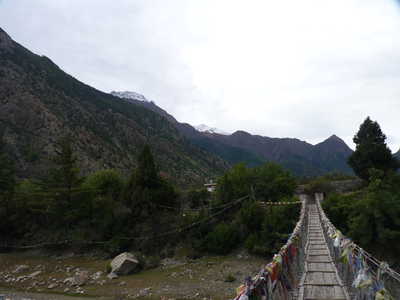
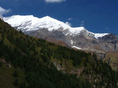
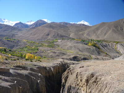
After taking my rest day in Muktinath, I started toward Kagbeni by taking the trail and road on the north side of the valley. The road that the jeeps use is on the south side of the valley and I really wanted to avoid walking that. The route I took passes through three villages, Chongur, Jhong, and Putak before heading down to Kagbeni on the Kali Gandaki. I didn't see a single trekker on this route (although met a few that evening that had come that way behind me), and saw only one jeep on the road. The weather was beautiful and I was glad I had taken this route, with its wide open views (including back to Thorung La) and interesting villages.
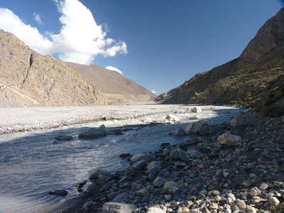
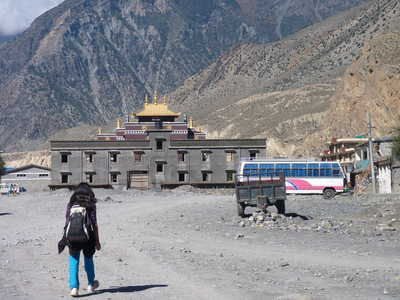
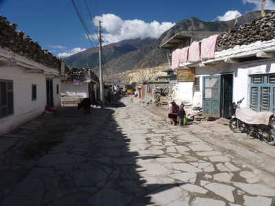
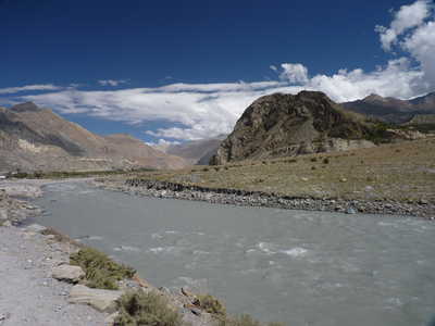
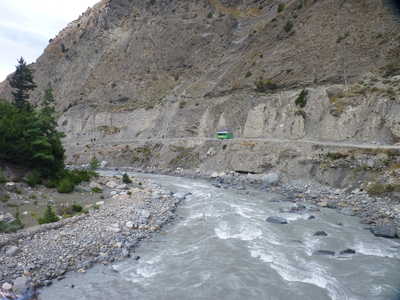
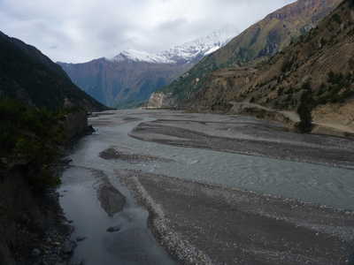
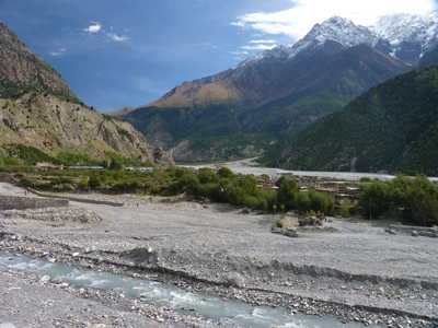
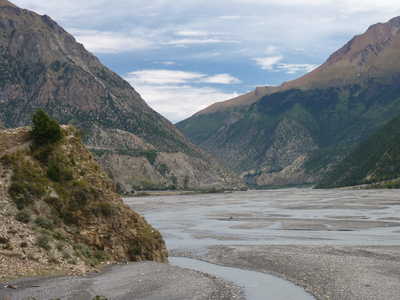
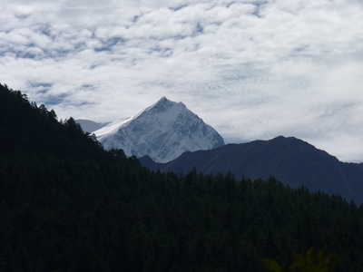
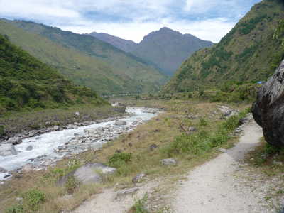
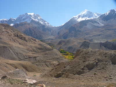
Now in Kagbeni, I was on the Kali Gandaki river that I would be following for a few days. This valley is known for its high winds that start kicking up around 10am each day. Because of this, I got an early start from Kagbeni. This route was mostly road walking, but with a long section where you could avoid going up and back down on the road by following the river. Porters were taking this route so why not try it? It worked out well. Jomsom is the largest village in this area and has an airport with flights to Pokhara, weather permitting. One plane came in and back out when I was there. The wind really started picking up between Jomsom and Marpha. Marpha is a nice village in the heart of apple country, known for its apple pies!
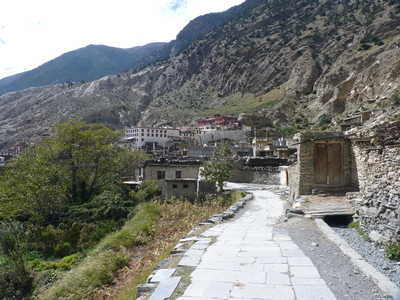
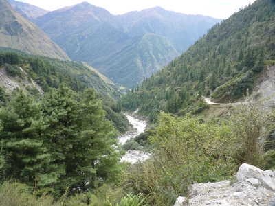
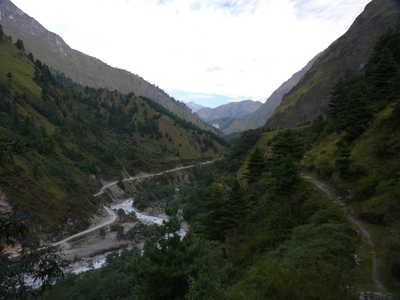
From Ghasa, the valley really drops off in elevation, losing another 3000 feet to Tatopani. In this section I mostly followed a trail on the east side of the river (opposite the road), which takes you almost to Tatopani before you cross the river and rejoin the road. The trail probably had more ups and downs than the road, but it was not too much effort. Tatopani is a fairly large village with a hot spring (name Tatopani means "hot water"). The weather had been fairly good all the way down this valley, but took a turn after I arrived in Tatopani, with rain all night and most of the next day. I opted to stay two nights in Tatopani before tackling the uphill section that was coming next.
|
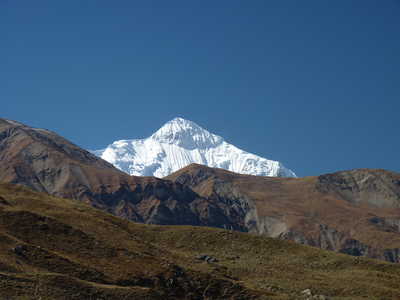
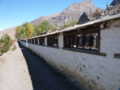
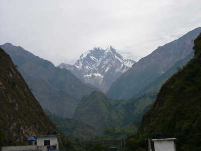
Nilgiri (23,166 ft), long prayer wheel wall in Muktinath, Dhaulagiri (26,795 ft) over Ranipauwa
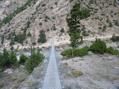
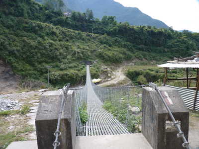
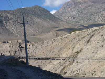
Tilicho Peak (23,406 ft), suspension bridge below Chongur, monestary on hill in Jhong
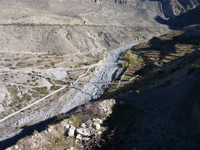
   Buildings in Putak, narrow canyon, looking back at Thorung La  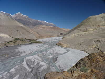 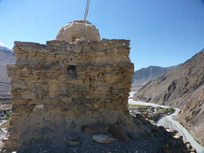 I followed this road a long way!, Kali Gandaki river valley and village of Tiri, stupa on cliff above river 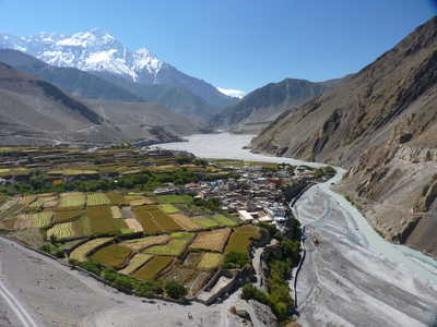 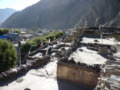 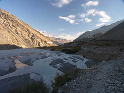 Nilgiri over Kagbeni and Kala Gandaki river, village of Kagbeni, river valley south of Kagbeni
   Scenes between Kagbeni and Jomsom. Nilgiri is the mountain in the middle picture.
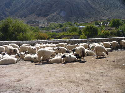
River valley, new building in Jomsom, sheep!
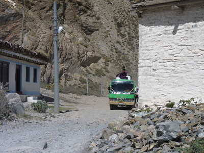
Jomsom, roof rider on bus, river valley between Jomsom and Marpha
Coming into Marpha, scenery between Marpha and Larjung
Between Marpha and Larjung
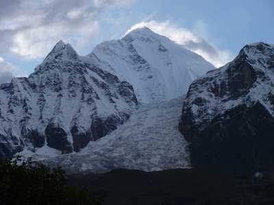
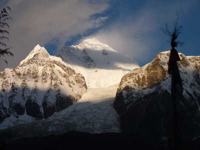
Kali Gandaki river valley, Dhaulagiri and icefall above Larjung in evening and morning light
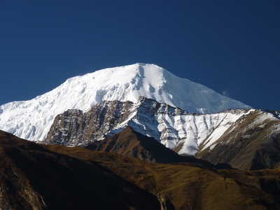
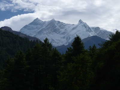
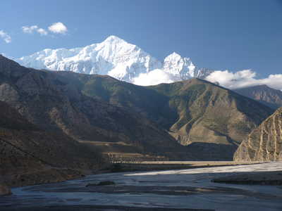
Nilgiri over Kali Gandaki river valley, Tukuche Peak (22,703 ft), Annapurna South (23,684 ft)
Annapurna
I (26,545 ft, 10th highest in the world) on left, Bhara Churi (25,089
ft) (aka "Fang") on right, other scenes between Larjung and Ghasa
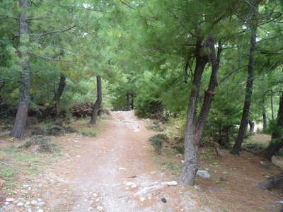
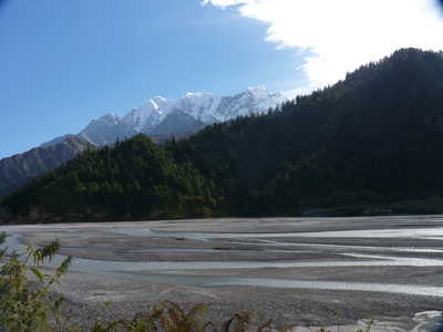
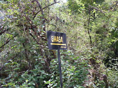
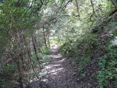
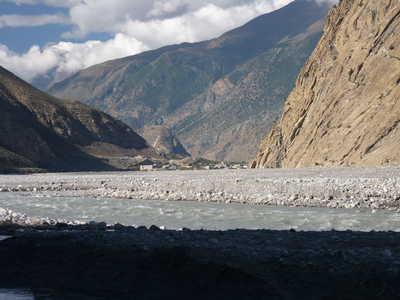
Trail through the woods before Ghasa, scenes between Ghasa and Tatopani
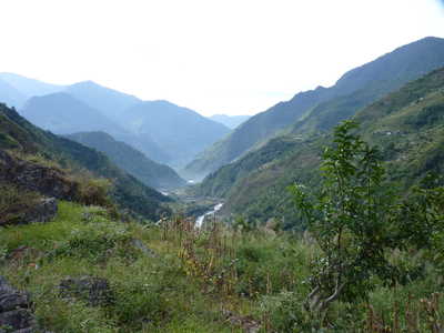
Between Ghasa and Tatopani
Nilgiri South (22,438 ft) towers above Tatopani (3904 ft) |