Nepal 2013
Annapurna Circuit
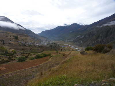
Ascending the Marsyangdi River valley
September 27 to October 6
|
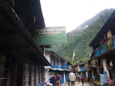
Besi Sahar to Chame A
rough road continues from Besi Sahar to Chame, and even all the way to
Manang although there were a couple of impassable sections beyond
Chame. Many trekkers take a jeep to villages between here and
Chame to shorten the trek. I elected to hike all the way from
Besi Sahar. Rather than hiking on the road, there are trail
options in many places. Right from Besi Sahar, there is a trail
that drops down to the Puma Khola where it re-joins the road.
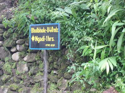
Then a bit further along the road you can cross the Marsyangdi River to
the other side and follow a trail all the way to Bhulbhule. This
is the route I followed that first day, making a wrong turn once or
twice. Generally there were local people out and about to get
"directions" from. I found my way to Bhulbhule before dark, but
without too much time to spare. The guest house here was within
earshot of the river and I had the nice river sounds to sleep to.
That, punctuated by a thunderstorm that continued through the night.
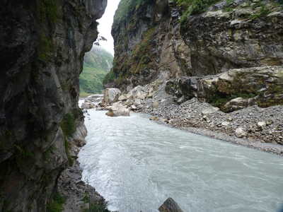
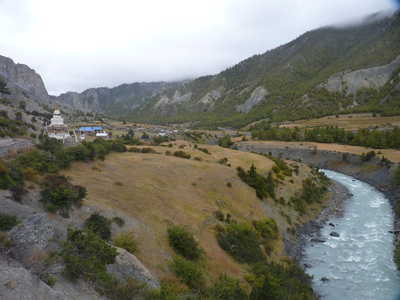
Beyond Bhulbhule I followed a trail on the opposite side of the river from the road, which took me to Bahundanda and beyond before I had to cross the river and join the road at Jagat. From here I followed the road to Chamje where again I crossed the river to a trail going up to Tal. I cut the climb to Tal in half by staying at Sattale, which is really just a single guest house rather than a village. As in Bahundanda, I was the only guest in the guest house. These first few days of the trek were quite warm and humid, and my clothes were soaked with sweat that refused to dry overnight when hung in my room. I was looking forward to getting higher! The next morning low clouds were hanging over as I climbed to Tal. The village of Tal was covered in low clouds. The clouds cleared a bit as I continued up the valley, crossing the river again to rejoin the road before Karte. From here I followed the road most of the way to Chame, with some short sections of trail here and there. And low clouds continued to be the rule, obscuring any views of the higher mountains I might have had.
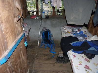
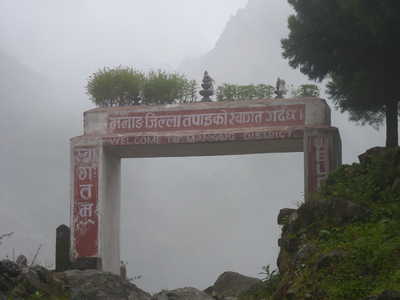
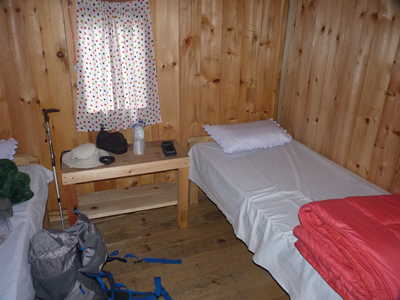
Bhulbhule room, Bhulbhule guest house, trail sign
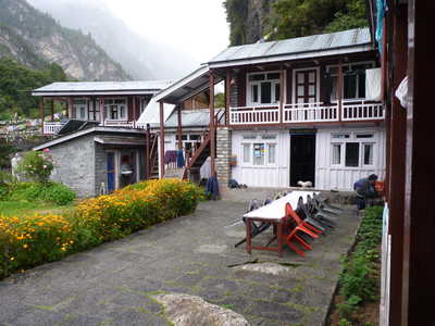
Guest house in Sattale
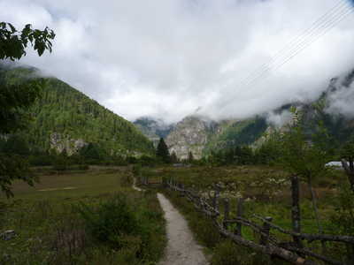
Scenery around Tal, north of Sattale
Between Tal and Dharapani
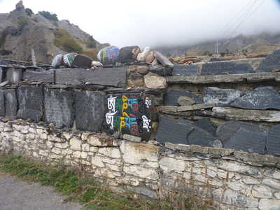
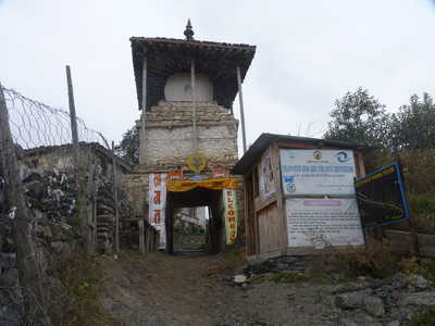
Check post in Dharapani, guest house in Danakyu
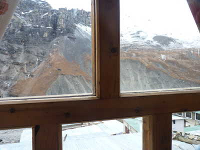
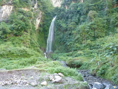
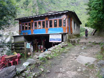
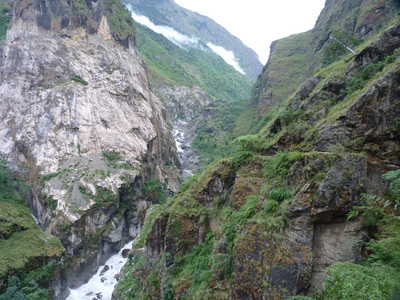
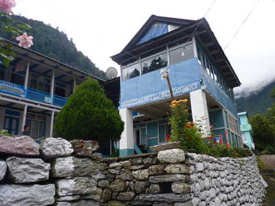
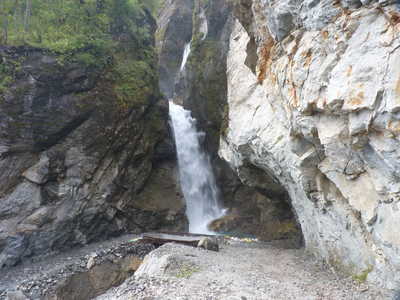
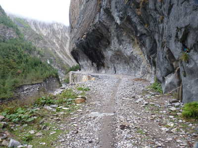
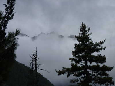
Road rounding a waterfall canyon, low clouds dominating, guest house in Chame
|
| Chame to Manang After
Chame the jeeps were no longer running as there was a section just over
the bridge in Chame that was impassable to them. Motorcycles were
still seen though. The two days from here to Manang were
characterized by low clouds and a bit of light rain the second day, so
light though that my clothes stayed dryer than when I was sweating in
the low country earlier in the trek!
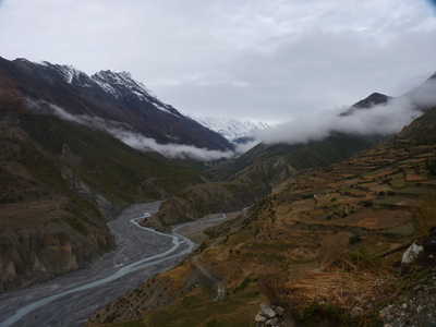
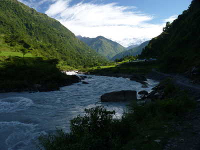
Although I followed the road over this section, there is another option from just before Lower Pisang nearly to Manang, the "high trail." This trail climbs up the north slope of the valley and offers (reportedly) excellent views of the Annapurna range. Given all of the low clouds we had been having, I elected to take the easier route along the road. Manang is one of the larger villages in the area, and sits at 11,600 feet elevation. Staying here two nights for acclimation is recommended. There is a medical post here with volunteer doctors that give a lecture on altitude sickness each afternoon, which I attended. There are many options for day trips from Manang during this "rest" day, but for me it rained nearly all day and I didn't feel like going out hiking. Scenes around Chame
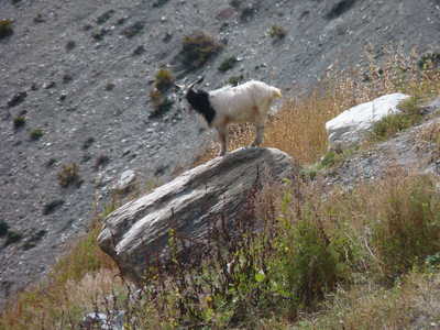
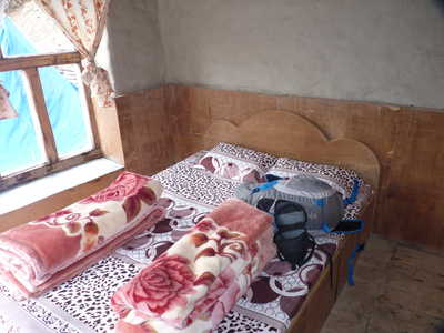
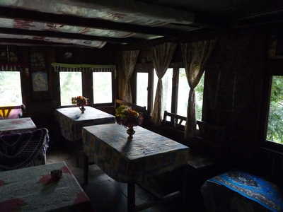
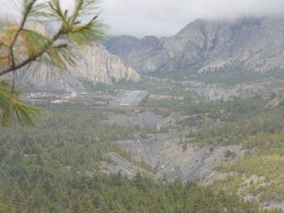
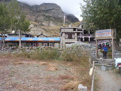
Views between Chame and Lower Pisang, room in Lower Pisang Airstrip in Humde, local livestock, and river valley between Pisang and Manang Scenes near Manang, guest house in Manang
|
|
Manang to Thorung Phedi Once
past Manang, you really start to get into the "alpine" region and the
trees eventually disappear. There is a popular side trip to
Tilicho Tal (lake), a high lake to the west of Manang which now has two
guest houses enroute so you don't need to carry a tent. I
considered this as I could afford the time, but opted out due to
weather (including recent snow in that area) and the fact that I was
alone. Instead I continued directly from Manang to Yak Kharka, a
short day but more elevation gain that day would be risky. The
clouds were starting to pull back a bit and I got quite a few partial
views of snowy peaks. I reached Yak Kharka early, as usual, and
settled into my guest house there, with a bit of rain arriving again in
the afternoon. Next morning there was a dusting of snow on the
ground which mostly melted throughout the morning.
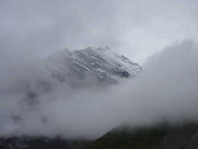
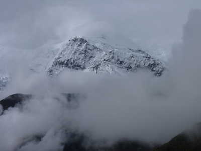
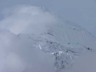
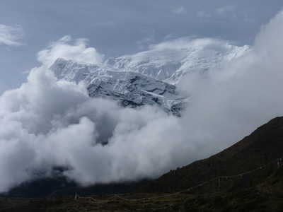
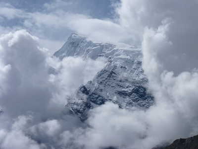
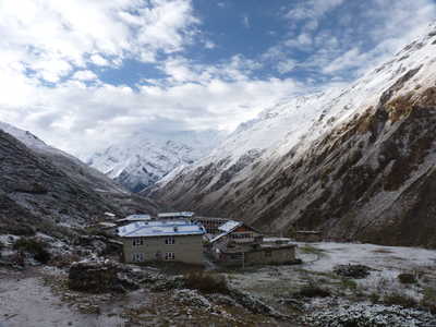
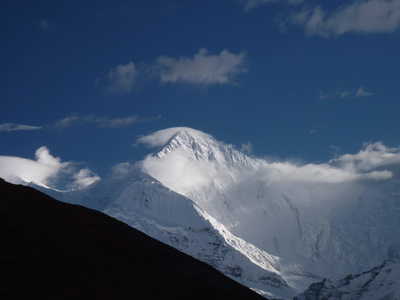
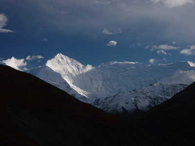
The next stop was to be Thorung Phedi at 14,600 feet elevation. This is 100 feet higher than our highest mountain in California (Mt. Whitney), which up until now was the highest I had been. Again this was a short hike but going further was considered risky due to the maximum elevation gain recommended in a day (around 1500 feet). I arrived at Thorung Phedi mid-morning. At around 3:30 in the afternoon, a quick storm came through with high winds and hail. It only lasted a half hour or so and appeared quite localized. After that, we got some nice clearing with some awesome views (best yet) to the south of Gangapurna!
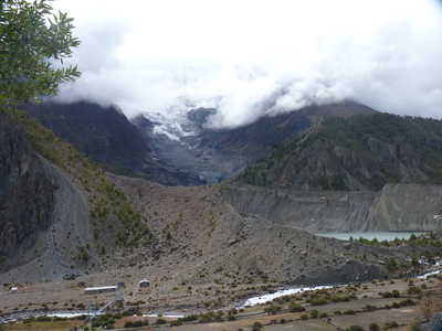
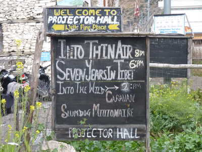
Scenes around Manang including Gangapurna Glacier and Tal (lake), and the sign for the local "theater"
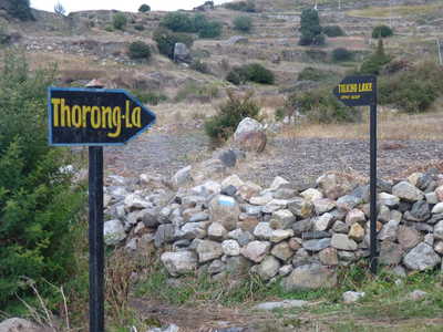
Sign at trail junction for Tilicho Tal, views of the river valleys near Manang
Snow covered mountains were becoming visible between Manang and Yak Kharka, still lots of low clouds though
Scenery on the way to Yak Kharka
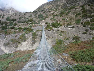
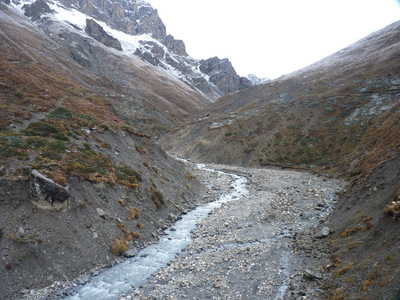
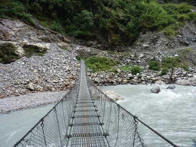
Yak Kharka in the morning with a light dusting of snow, suspension bridge on the way to Thorung Phedi
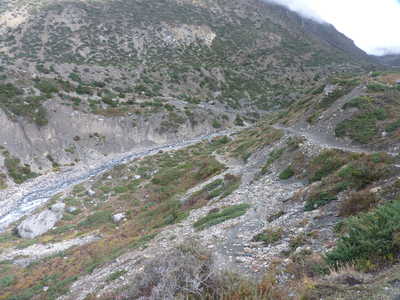
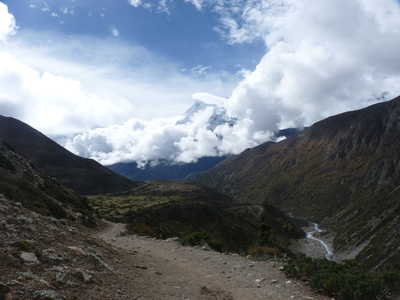
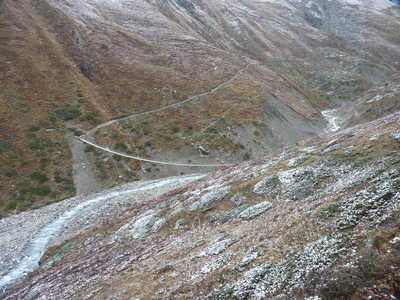
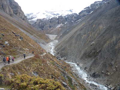
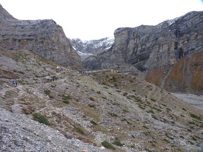
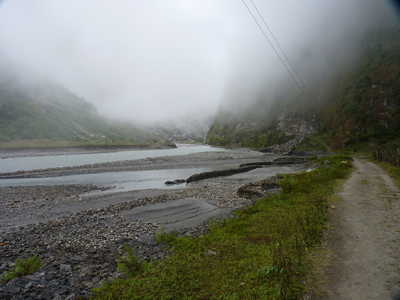
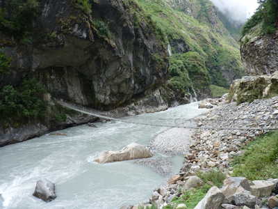
Barren valley leading to Thorung Phedi (which is visible in the pic on the right)
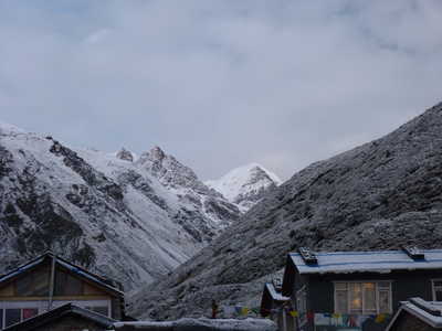
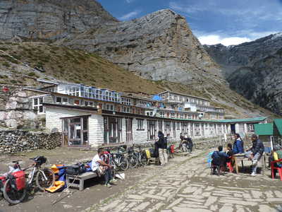
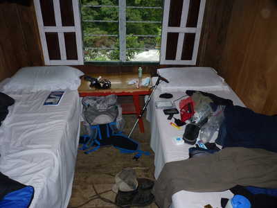
Guest house at Thorung Phedi (14,600 ft)
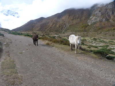
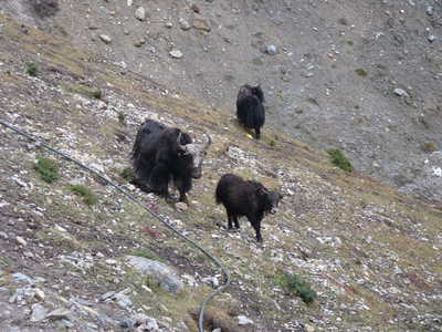
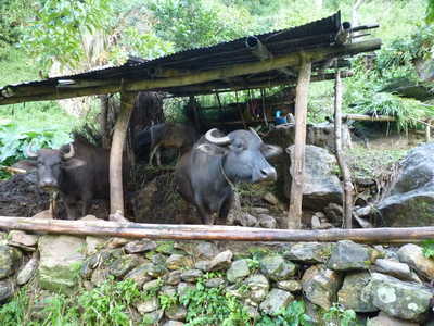
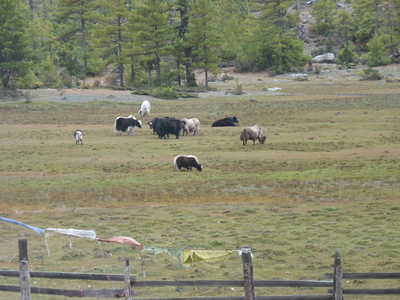
Yaks near the guest house, and great view of Gangapurna (24,455 ft) from Thorung Phedi |