Nepal 2013
Annapurna Circuit
Crossing Thorung La (17,768 feet)
October 7
The
highlight of the Annapurna Circuit is crossing the Thorung La.
This is the pass between the two major river drainages on the circuit,
the Marsyangdi and the Kali Gandaki. There are two options of
where to start the climb to the pass from: Thorung Phedi and the
"high camp". Both locations have guest houses. Thorung
Phedi is at 14,600 feet elevation, making for a climb of over 3000 feet
to the pass but potentially easier acclimitization due to sleeping at a
lower elevation. The high camp is about 1250 feet higher, cutting
the climb almost in half. But unless you are already acclimitized
it is too high to go in a day from Yak Kharka, so it would cost another
day to stay at high camp. I started hiking from Thorung Phedi at
5:30am, just when it was light enough to see without a headlamp.
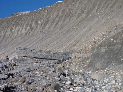
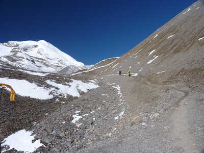
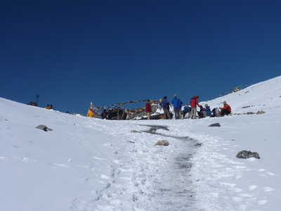
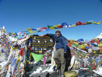
Many other trekkers were also starting early, including someone who had hired a horse to take them to the pass. The first part of the climb was steep, 1250 feet up to the high camp. I arrived there at 7:40 and went inside for a hot chocolate. The wind was starting up so I added my wind breaker to my fleece jacket that I was already wearing. The route to the pass continued uphill, crossing a stream on a steel bridge, and passing a tea house. Solid snow covered the ground around 16,500 feet or so, but the trail was often melted out due to traffic, or at least was well trodden and easy to follow. I reached the pass at 9:45, and spent about a half hour enjoying the pass. There is even a small tea house at the pass!
Going
downhill from the pass was, for me, much worse than the uphill.
The trail going down seemed to never end, and the bottoms of my feet
were feeling every step. Finally I reached Muktinath at 2:30
after dropping over a vertical mile (5400 feet). Muktinath
(12,340 ft) is the first village on this side of the pass (there
are a few restaurants above Muktinath that may offer beds--I
stopped for lunch at one of these). My room here had an attached
bathroom and I got a shower and rested up from the big day over the
pass. I planned to stay two nights here since I had the
time! (Note: technically the village with the guest houses
is Ranipauwa, but I tend to refer to it as Muktinath)
|
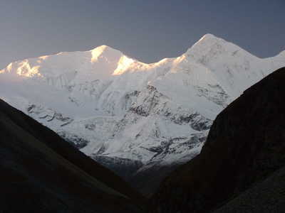
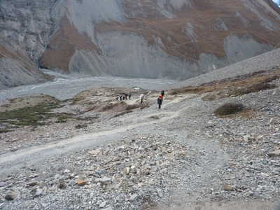
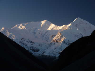
Two views of Annapurna III (24,787 ft) and Gangapurna (24,455 ft) straddling a pic of the trail up from Thorung Phedi
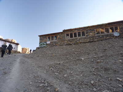
High camp guest house, steel bridge over creek, barren terrain toward the pass
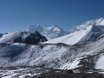
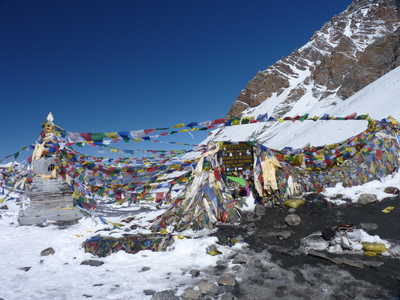
Annapurna II (26,040 ft) is the peak in back, approaching the pass, and the sign, chorten, and prayer flags at the pass
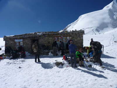
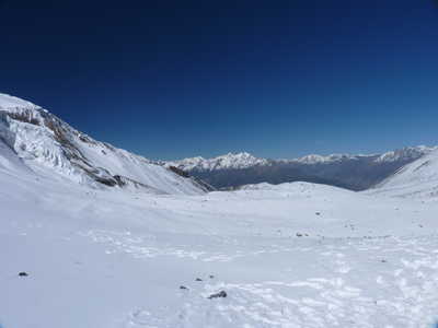
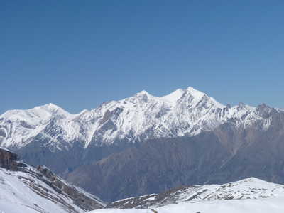
Tea house at the pass, view west from the pass, and zoom in view of Sangdachhe Himal (21,007 ft)
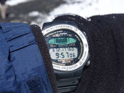
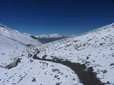
My watch at the pass (altitude shown), Steve at the pass, and the trail descending the west side
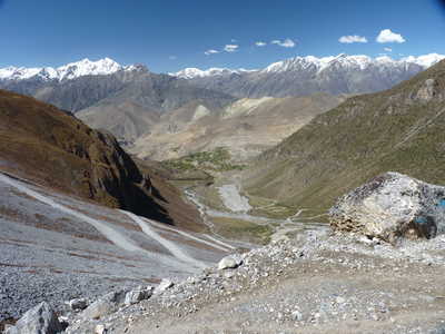
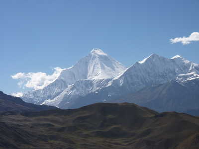
Views
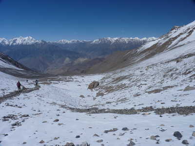
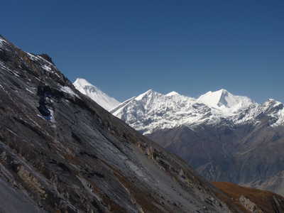
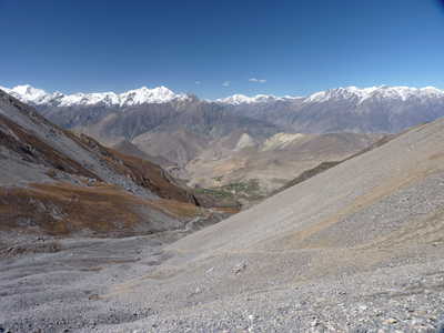
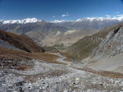
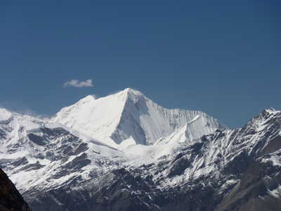
from the descent. Center picture shows Dhaulagiri (26,795 ft, 7th
highest in the world) far left snowy peak, and Dhaulagiri II (25,430
ft) on the right.
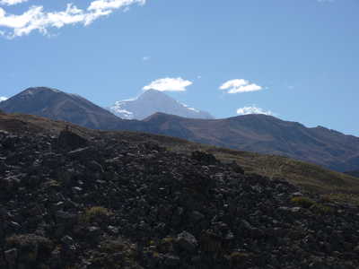
Views from the descent. Center picture is Dhaulagiri II
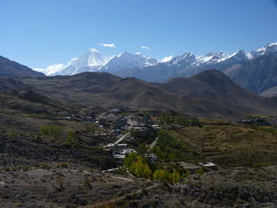
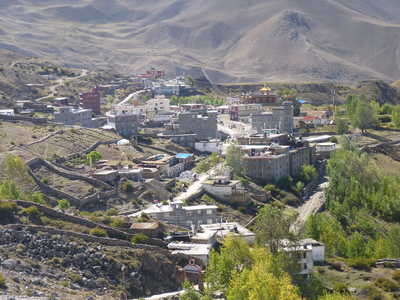
Dhaulagiri, Dhalagiri over Ranipauwa, zoom in on Ranipauwa
Nilgiri (23,166 ft) |
