Blue Canyon and Blackcap Basin 2022
upper Blue Canyon basin to Portal Lake
Tuesday, August 23, 2022
Index <<Previous Next>>
Mantle
Pass is interesting in that there is a lake right below the pass, with
only a bit over 100 feet elevation to the pass from the lake. The
downhill side was a little confusing at first as there is a small rise
between two drainages which isn't really visible on the map.
Journal Entry: Started at 9am under blue skies. First part route finding over talus, slabs, and grass. Had to cross a couple of gullies. Got to the lake just below Mantle Pass before 11am. Only 15 minute walk to the pass from there. Headed down the other side over mostly slabs and grass with some minor route finding challenges to find the right valley. Dropped to around 10,100 ft before contouring around and climbing to a saddle above Portal lake. Got to the lake at 2:30 or so, but spent about an hour deciding where to camp! Went for a refreshing swim! Tomorrow is a day hike around Blackcap Basin.
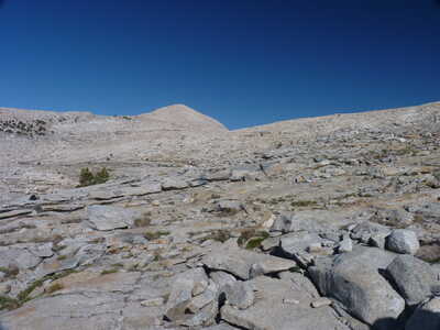 rocky terrain |
 view down Blue Canyon |
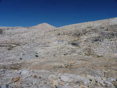 view toward Mantle Pass (pass is just north of the peak at center) | 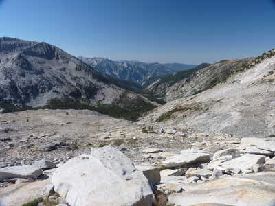 view down Blue Canyon |
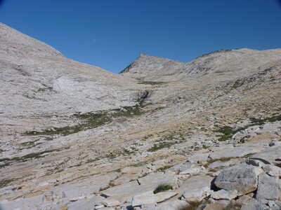 valley below Lake 10849, Mantle Pass | 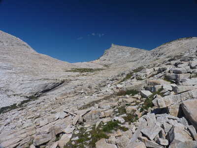 Mantle Pass ahead |
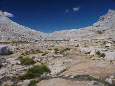 Mantle Pass over Lake 10849 | 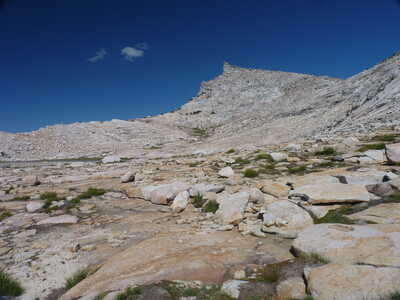 peak to the north of Mantle Pass |
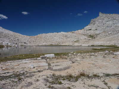 vMantle Pass over Lake 10849 | 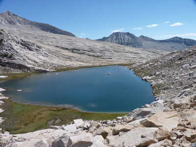 Lake 10849 from above |
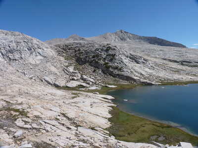 Finger Peak over Lake 10849 | 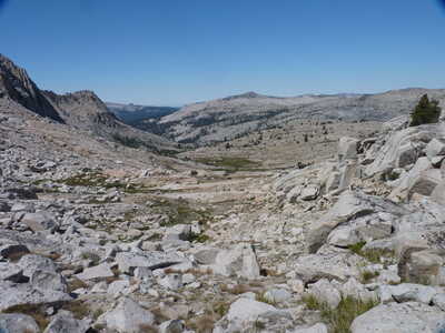 view west from Mantle Pass |
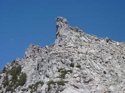 zoom on peak North of Mantle Pass | 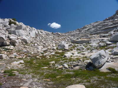 looking back at Mantle Pass |
 rocks and grass ahead | 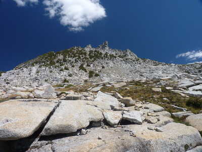 rock formations north of the valley west of Mantle Pass |
 Hummingbird Lake below | 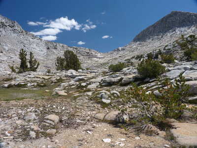 view back toward Mantle Pass |
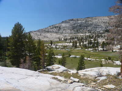 Crown Basin below | 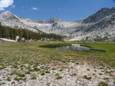 upper pond, north end of Crown Basin |
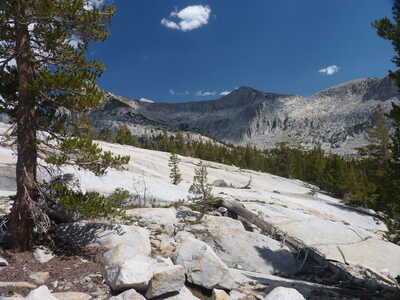 large slabs south of Portal Lake | 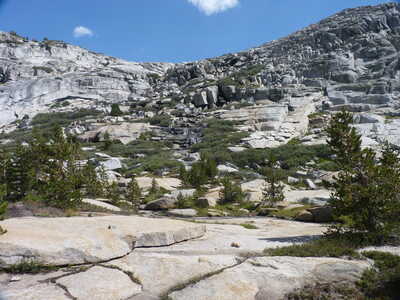 slope above Portal Lake, outlet of Midway Lake coming down |
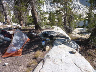 campsite at Portal Lake | 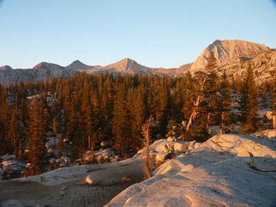 view north from Portal Lake with alpenglow |