Cartridge Pass and Muro Blanco 2006
Grouse Lake to State Lakes
Saturday, August 19, 2006
Index <<Previous Next>>
|
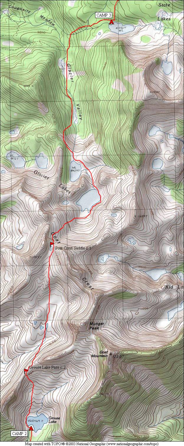
Today we reached true alpine country, above 11,000 feet. Grouse Lake Pass was the first obstacle, at around 11,000 feet. Once over that, we tried to avoid losing too much elevation, as the next pass (Goat Crest Saddle) was at 11,500 feet. There was a small lake, partially covered with snow, on the top of this pass, and it was here that we crossed from the drainage of the South Fork Kings River to the Middle Fork Kings River where we would remain until Cartridge Pass four days later. Then the first significant downhill of the trip, back down to 9900 feet where we met the trail again. A short uphill to the first State Lake finished off the day.
Journal Entry: Long day today—over two passes. Got started around 8:30, up to Grouse Lake Pass. Easy on the south side, a little more challenging on the north. Then we contoured over to Goat Crest Saddle, 500 feet higher. Again easy on the south side, mostly gradual grassy terrain. The north side was more challenging, but not bad. Dropped down to pass two of the Glacier Lakes, then down into Glacier Valley, with two meadows. Reached the trail to State Lakes, and a short uphill brought us here around 4:30. Nobody else camped here, saw nobody else since this morning at Grouse Lake (two others camped there). Weather has been great, mostly sunny with some “friendly” clouds. |
|
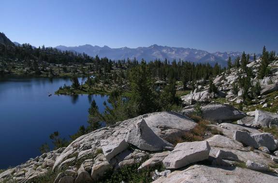
Looking north over Grouse Lake, Grouse Lake Pass is on the far left side |
|
|
Looking southeast from Grouse Lake’s western shore Mountains in the distance are on the other side of Kings Canyon |
|
|
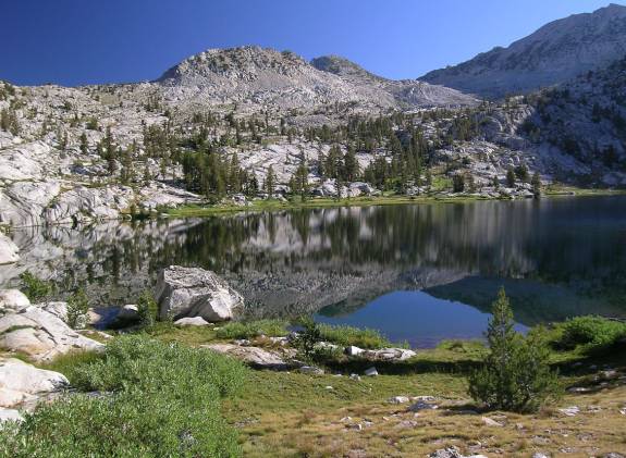
Glacier Lake to the west from Grouse Lake Pass |
|
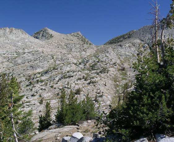
Goat Crest Saddle from Grouse Lake Pass |
|
Looking back at Grouse Lake Pass from just below Goat Crest Saddle |
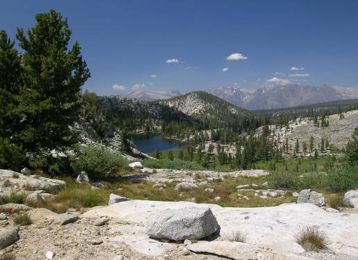
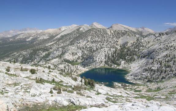
Upper Glacier Lake from Goat Crest Saddle |
|
Upper Glacier Lake |
Upper Glacier Lake with Goat Crest Saddle (low point above) |
|
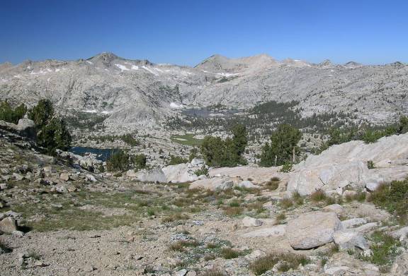
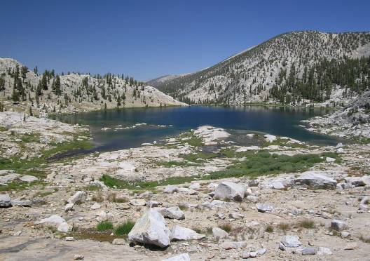
Lower Glacier Lake from above |
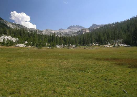
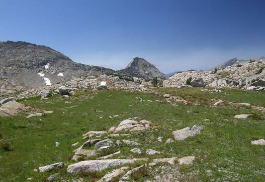
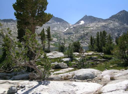
Large meadow in Glacier Valley |