Lyell, Hutchings Creek, and Vogelsang 2018
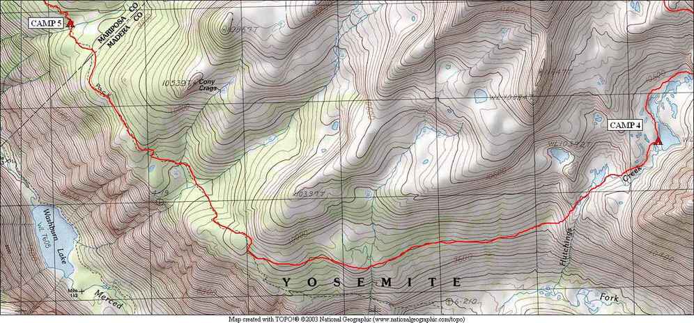
Lower Hutchings to Cony Crags
Friday, August 24, 2018
Index <<Previous Next>>
We
were headed back to a trail today. The first part of the day
involved passing by a lake and then a pond, and near this pond we ended
up in a narrow canyon, with a short, confined dropoff at one
point. We took our packs off here and handed them down.
Other than that, the canyon wasn't too bad although I'm sure there are
many ways around it. Once out of the canyon, we started heading
west trying to maintain our elevation at around 9800 feet. The
first part was open slabs, then there were trees to go through.
We were concerned about water, even at the planned camp, so we were
filling up at each creek that we crossed. We easily found the
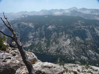
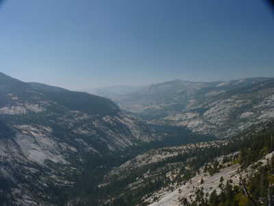
trail and followed it north with views down into the Merced River
valley from time to time. Hadn't seen any people since Tuesday
when leaving the John Muir Trail, still didn't see anyone today despite
being back on trail.
Journal Entry: Very cold inght—28F at 4am! Got a later start—9:30 or so. Headed downhill past a couple more lakes and through a narrow canyon. Traversed to the trail at around 9800 ft. Mix of slabs and trees mostly. Got to the trail around 1:30. Up and down on the trail to the last creek crossing before Lewis Creek—got here around 3:45. All of the creeks on the map had water, but we were carrying enough for the night just in case. Tomorrow down and then up to Bernice Lake—all on trail. Weather continues excellent but views this afternoon toward Half Dome were pretty hazy.
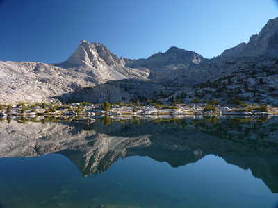 morning view from camp |
 Clark Range over the pond behind our camp |
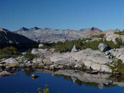
 lower lake at 10,250 ft |
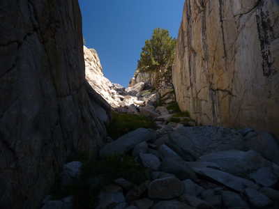 narrow canyon |
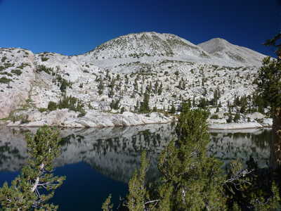
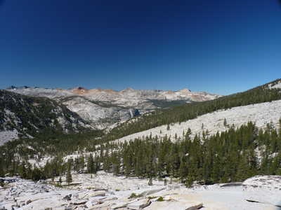 slabs to cross toward Clark Range |
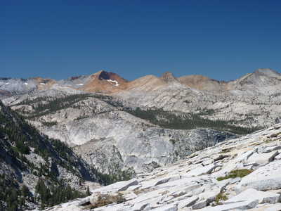 Red and Gray Peaks with Merced River valley below |
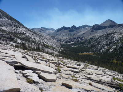 view east up Lyell Fork Merced River, smoke is visible |
 a bit smoky view with Washburn Lake below |
 smoky view west, Clouds Rest is above and Merced Lake is just right of center below it |
|