Milestone Basin and Vidette Creek 2014
Over Harrison Pass
Monday, August 18, 2014
Index <<Previous Next>>
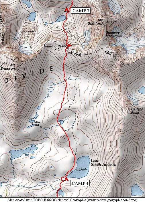
Harrison Pass is on the boundary between Kings
Canyon and Sequoia National Parks. We had attempted this pass in
2000 from the same side but didn't cross it that year. This year
we were successful! The trail shown on the map above was not
visible anywhere on either side of the pass, it has not been maintained
in many years. However, the trail leading south from Lake South
America still exists.
Journal Entry: Late
start today, hiking at 10:30. Light clouds all day, nothing
threatening but a change from last 3 days. Talus climb then scree
chute up to Harrison Pass, got there around 12:30. Last big
challenge of the trip! Easy traverse over to Lake South America,
got here around 3:00. Haven’t seen anyone since JMT on Saturday,
although this lake has a trail to it. Tomorrow’s goal is
Milestone Basin.
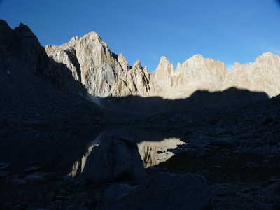 Mt Ericsson over the lake in the morning |
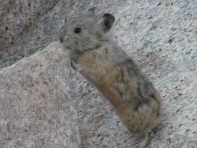 one of the many resident pikas |
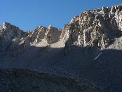 Harrison Pass lit by the morning sun |
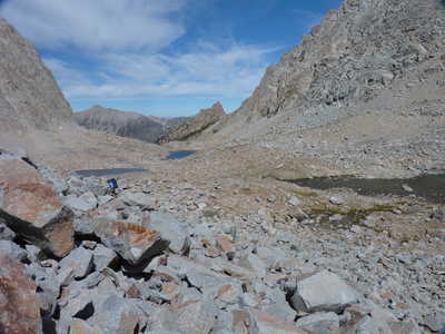 lakes to the west down the valley |
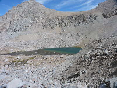 Deerhorn Saddle over the lake we camped at |
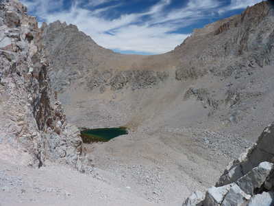 Deerhorn Saddle and lake |
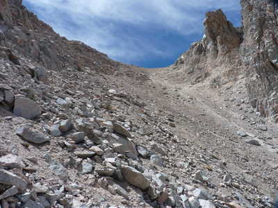 getting closer to Harrison Pass |
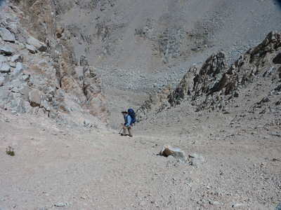 Ron on the final approach to the pass |
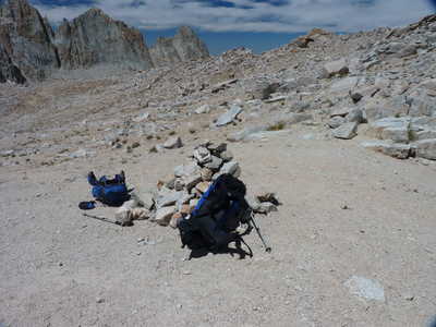 rock cairn at the pass with our packs |
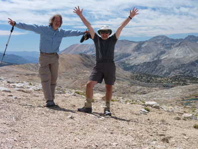 we made it! |
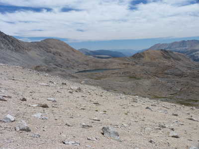 Lake South America in the distance |
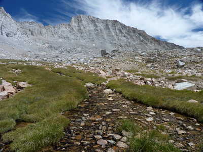 Caltech Peak over Kern River headwaters |
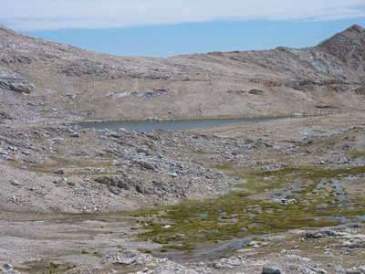 Lake South America |
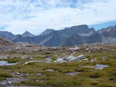 Milestone Mtn, Midway Mtn, and Table Mtn three peaks over Milestone Basin, our destination tomorrow |
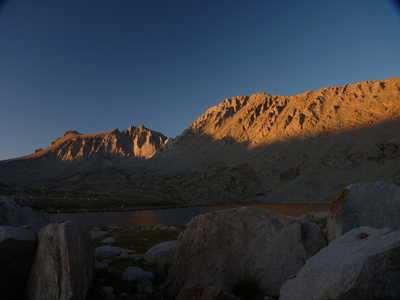 alpenglow over Lake South America |
|