Milestone Basin and Vidette Creek 2014
Lake South America to Milestone Basin
Tuesday, August 19, 2014
Index <<Previous Next>>
Milestone
Basin is very pleasant for off-trail travel! Years ago there was
a trail leading to the lake we camped at, we followed the old trail
here and there up to where the creek splits halfway up. The old trail
followed the southern branch of the creek, but we followed the northern
past several small ponds, then up slabs to the high lake at around
11,900 feet elevation. Dark clouds stuck around into the evening,
and thunder was heard early evening, although no rain fell in our basin.
Journal Entry: Clouds
cleared last night, two people arrived late to camp at the lake.
Morning had more thin clouds, got started 8:45 or so. Trail
pretty good, faint in spots but we were on it most of the way.
Started up Milestone Basin and used a trail on-and-off a good part of
the way. Made it to the highest large lake around 3:45.
Dark clouds hanging over here but lots of blue sky visible around
here. We’ll see if these clouds too clear tonight. Travel
in Milestone Basin is pretty easy, not much talus. Mostly on
dirt, grass, and slabs.
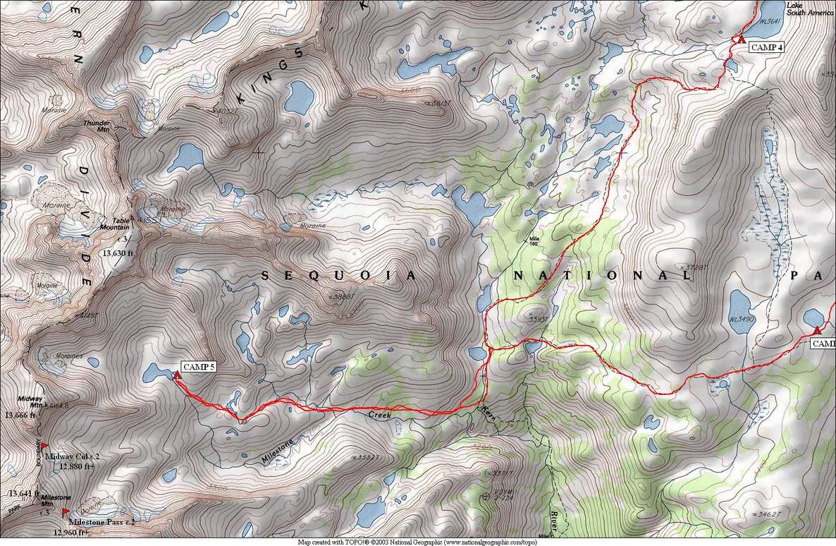
 Mt Ericsson reflected in Lake South America |
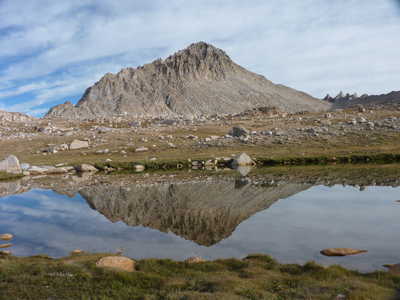
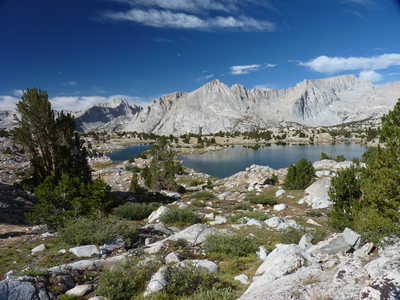
 Milestone, Midway, and Table Mountains |
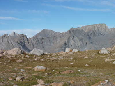
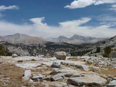
 unnamed lakes in upper Kern River basin |
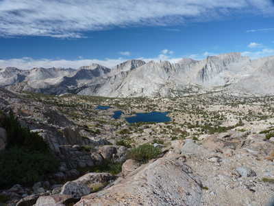
 upper Kern River basin |
 first lake where trail turns south |
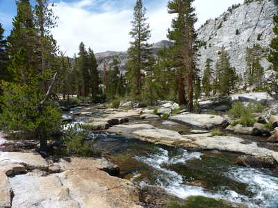 infant Kern River going over rock slabs |
 second lake at trail junction |
 Kern Canyon, Mt. Whitney visible (right of center) |
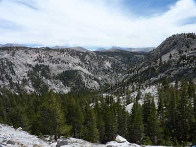
 typical terrain in Milestone Basin |
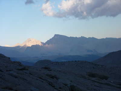
 Mts. Russell and Whitney far to the east |
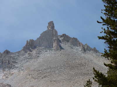 Milestone Mtn. |
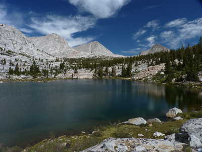
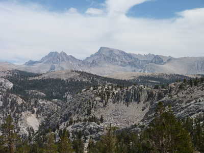
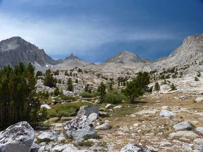 beautiful Milestone Basin |
 view to the east, Mts. Tyndall, Russell, and Whitney |
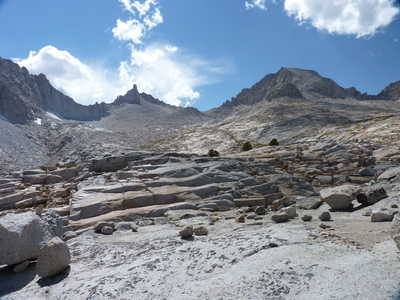 slabs in the upper basin |
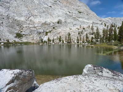
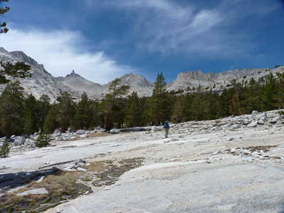
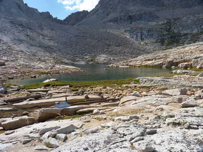 upper lake where we camped |
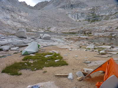 campsite |
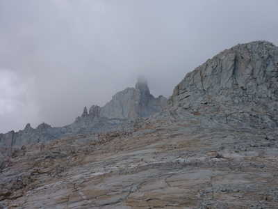 Milestone Mtn. obscured by clouds |
 but clear over Mt. Whitney |