Milestone Basin and Vidette Creek 2014
Over Forester Pass
Thursday, August 21, 2014
Index <<Previous Next>>
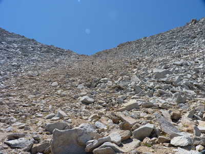
Forester Pass, at 13,150 feet elevation, is the highest point on the Pacific Crest Trail (PCT and JMT are the same trail in this area), and the highest point for us on this trip as well. We had last crossed this pass in 1995. From the south side, the pass looks impossible from a distance, being a small notch in the ridge. The trail, partially dynamited out of the granite, switchbacks up to the right (east) of the notch, and crosses maybe 50 feet below the notch, and has a few more switchbacks on the west side before reaching the pass. The north side is much less dramatic, but a long elevation drop to our camp at about 10,700 feet.
After getting used to not seeing anyone, we saw at
least 100 people today. As soon as we reached the JMT in the
morning we saw at least a few people each hour.
Journal Entry: Long
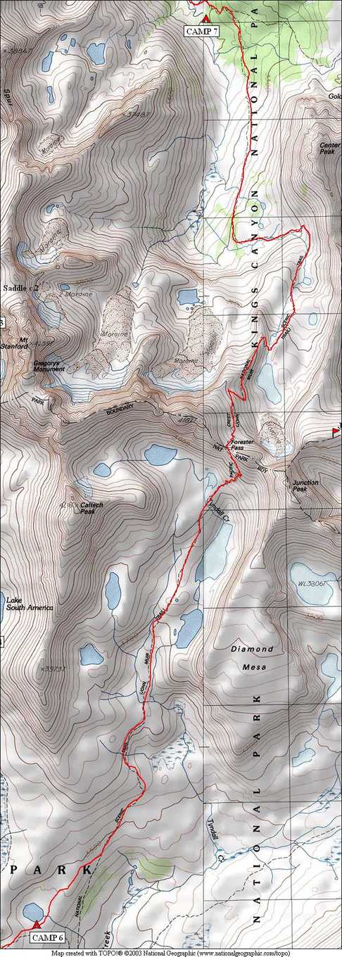
on-trail today. Very cold last night - 32°F in tent at 4am.
Awoke to dew and frost. Early sun though—around 7am. Spent
some time drying, walking by 8:30. Reached Forester Pass around
12:30. Long downhill to “Center Basin Junction” campsite in
trees. Arrived just before 4:00. Tomorrow we head down and
then up over Kearsarge Pass, hopefully to Flower Lake.
 frost on tent and backpack in the morning! |
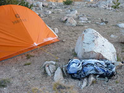
 reflections in lake where we camped |
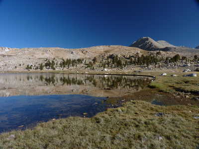
 view southwest toward Kaweah range |
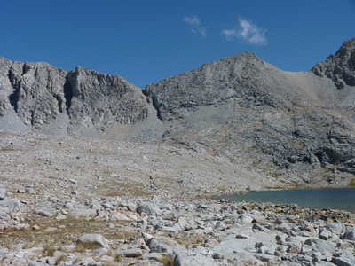 Forester Pass is low point on ridge |
 Forester Pass |
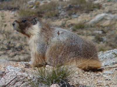 marmot |
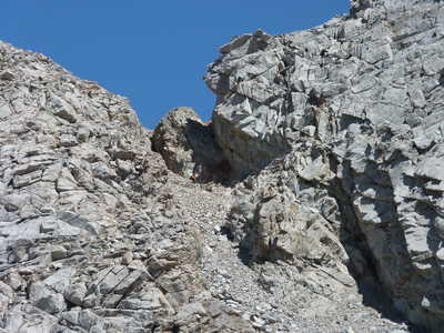 zoom in on upper part of Forester Pass |
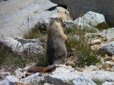 marmot having lunch near switchbacks below pass |
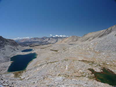 view to the south from halfway up to pass |
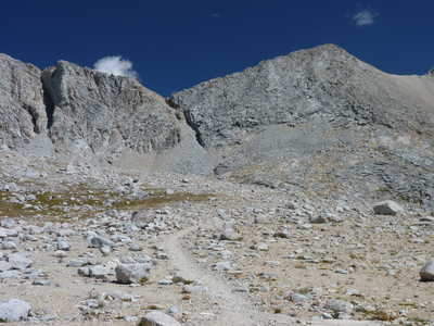
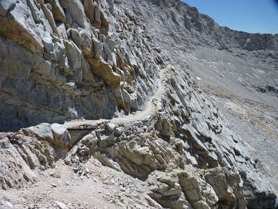 trail just before it crosses below pass |
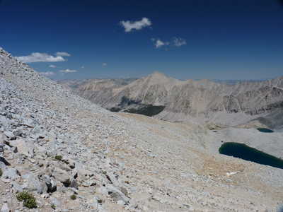 view north from Forester Pass |
 looking back at the pass from the north |
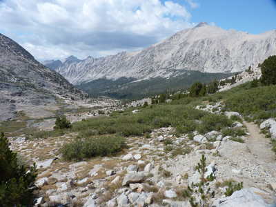
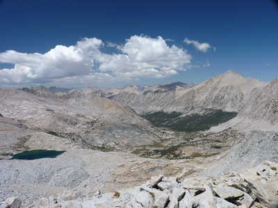 destination for today is the trees below |
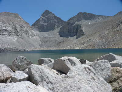 Junction Peak over the large lake below the pass |
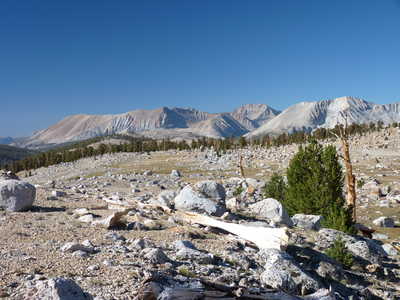
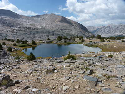 first few trees appearing near a small lake |
 University Peak over the valley ahead as we near camp |