Seven Gables and The Pinnacles 2011
Negit Lake to
Seven Gables Lakes
Tuesday, August 23, 2011
Index <<Previous Next>>
| Today we weren't sure
whether we would be able to continue on our planned route, or whether
we'd have to turn around at the top of Stough Pass. It all
depended on the snow conditions on the north side of the pass.
Our alternative plan was to go back down East Pinnacles Creek and head
down into Piute Canyon, where we would pick up a trail that would take
us back to the John Muir Trail right at the northern boundary of Kings
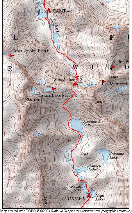
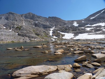
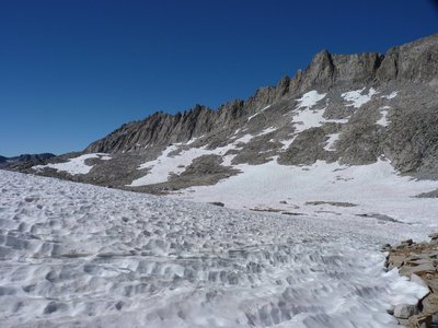
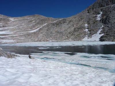
Canyon National Park. Luckily, we didn't have to test that plan, as the conditions on the north side of Stough Pass were "passable." A wide cornice blocked most of the top of the pass, however there was a snow-free area that had a route that looked passable from the top. We could not see the whole route down, but started down to test the route. We did find a route down, with some short class 3 sections (and some pack lowering) but mostly class 2. A huge snow field covered the bottom of the valley, but when we reached it, it was not too steep to walk across and the sun had softened the snow to make it fairly easy to cross. Journal Entry: Completely cloudless this morning, got a few puffy clouds this afternoon. Started with a fairly easy hike past Paoha and Council Lakes, then up to Aweetasal Lake, which was still partially frozen. Then it was up over fairly easy slabs to Stough Pass. We had been concerned that there would be too much snow on the north side to be safe, but we found a way down over loose rocks and steep slabs. Only snow crossing was low where it wasn't too steep. Long talus hop to the largest of the Seven Gables Lakes, where we are camped above the lake. Large rock here gives us some shade and so far mosquitos are nearly absent! |
 rock crossing the end of shallow Council Lake |
 The Pinnacles over a large snow field on approach to Aweetasal Lake |
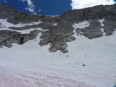
 partially frozen Aweetasal Lake with Stough Pass above |
 Aweetasal Lake from above |
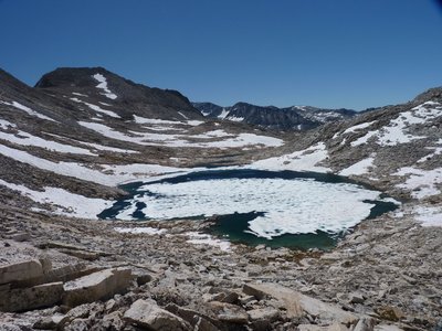
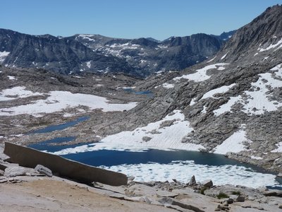 lakes in the East Pinnacles Creek basin |
 lakes in the East Pinnacles Creek basin |
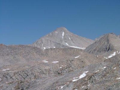 Mt. Gabb in the distance (zoomed in) |
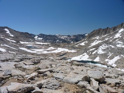
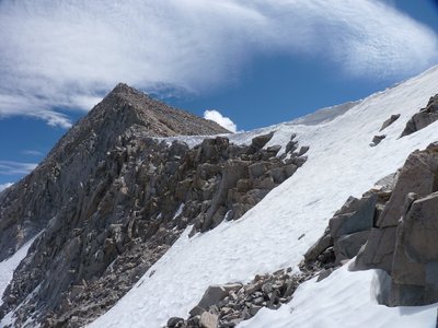
 looking straight down from the pass |
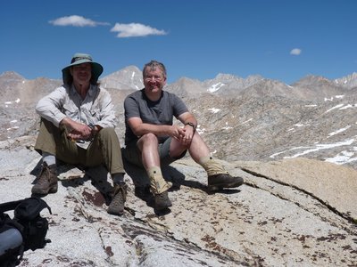 Ron & Steve on Stough Pass |
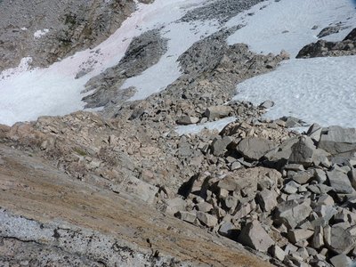
 snow conditions
on north side of Stough Pass
|
 North Side of Stough Pass from below our route was from right of the cornice on top, down the rocks in the middle, and across the snow in the foreground |
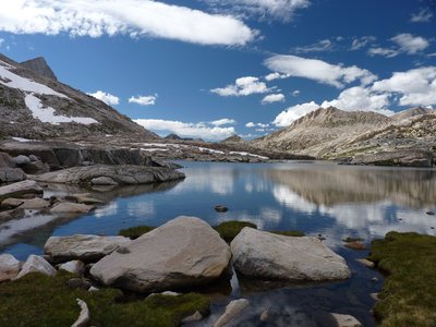 one of the Seven
Gables Lakes from our campsite
|