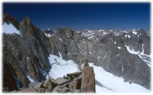
Mt. Sill and the Palisades 1998
Mt. Sill Summit
Thursday, August 27, 1998
Index <<Previous Next>>
|
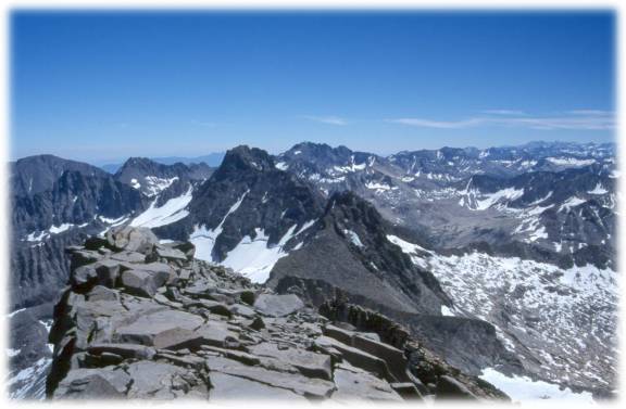
Looking east from Mt. Sill summit |
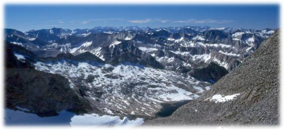
Frozen lake below Palisade Glacier, Big Pine Lakes |
|
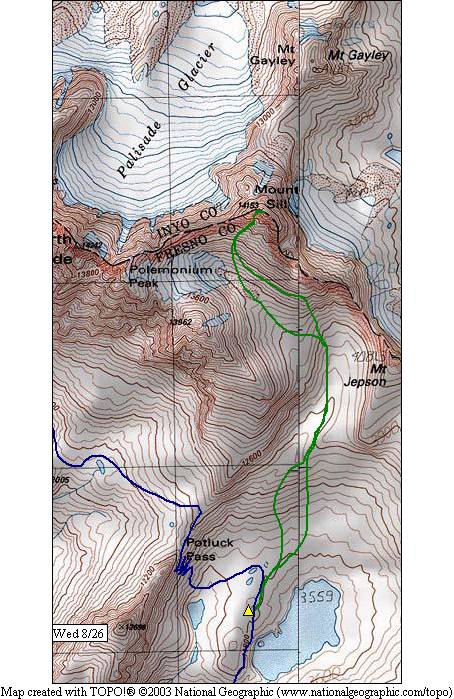
Relatively warm night (45 degrees) but gusty winds most of the night. Got started at 8am for Mt. Sill attempt. Sill is a class 2-3 peak on the Sierra crest. Crossed many large boulder fields, lots of snow, and some loose rock areas. Almost took a wrong turn once, but recovered without much back tracking. I took my hiking stick (at the last minute) but it wasn’t of much use in the rocks, so I left it part-way up (picked up on the way back). This was a much tougher hike than I expected, I’m more tired tonight than any earlier on this trip. Reached the ridge around 12:30, debated whether to climb the last bit to the summit. I did, Ron decided to stay back after trying some of this route. Signed the summit log, which was quite full - 4 or 5 different notebooks. Took pictures all around. Peaks visible for miles -- Sierra, White Mtns, and (we believe) Coastal Range! Better view than Whitney! Started back down about 2pm, got to camp 5:30 or so. Beautiful weather, a few high clouds but miles of visibility! After seeing the other side of Scimitar Pass (snow covered) we have made the decision to head for the Muir Trail instead. Tomorrow over Cirque Pass and to Palisade Lakes. |
|
|
Looking back down toward our campsite lake |
|
|
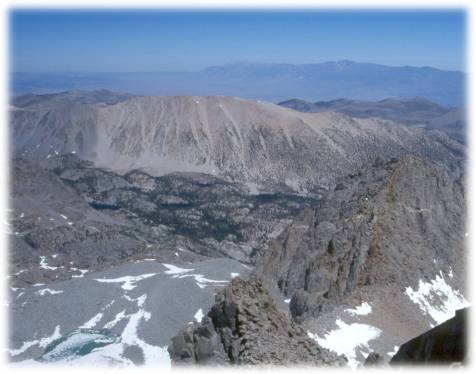
Looking west from the ridge, Palisade Glacier below |
|
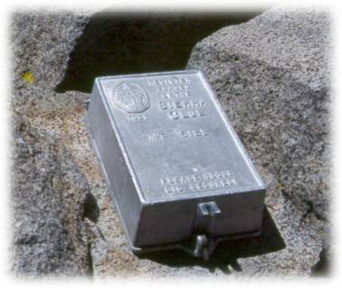
Summit Register |
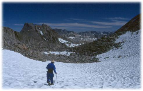
Ron in the snow on the descent |