Alta Peak and Tableland 2008
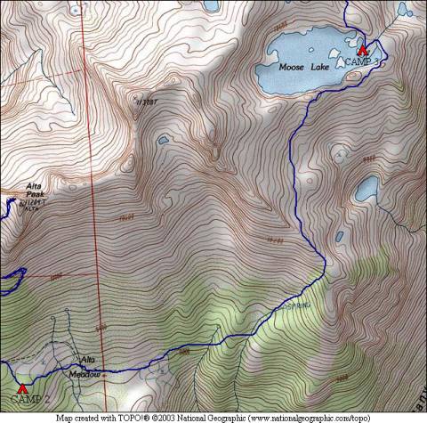
Alta Meadow to Moose Lake
Sunday, August 17, 2008
Index <<Previous Next>>
|
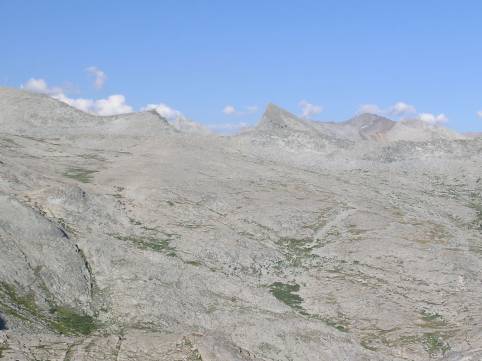
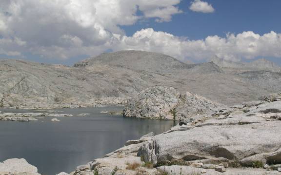
We (finally) left the trail today, although there were still traces of an old trail from time to time, especially as we neared Moose Lake. Off-trail travel through the meadows and some stands of trees was not too difficult, although we needed to make uphill progress to the ridge above Buck Canyon. At that point, the trees pretty much disappeared and we traversed high above the canyon over easy terrain consisting of mostly slabs and meadows. Finally, we reached the small saddle just south of Moose Lake where we were first able to see the large lake.
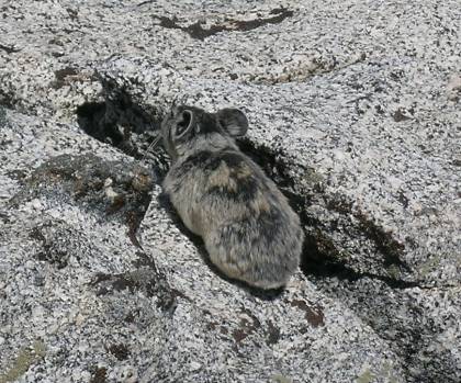
Journal Entry: Started in trees with occasional meadows. Traversed over to a ridge and climbed it. Awesome view into Buck Canyon from the top! From here, headed north over fairly easy terrain with a trail visible much of the way. Made it to Moose Lake on its south shore, then traversed around to the outlet on the east. Outlet is barely flowing, lake is fairly warm, at least near the outlet. Chose a campsite on one of the peninsulas. Doesn’t appear to be anyone else here, at least yet (4pm). Puffy white clouds mostly to the east today, looks like the “system” is clearing out. Our pass for tomorrow is visible from camp, doesn’t look too bad! Goal for tomorrow is Lonely Lake. Oh, got a picture of a pika on the south side of Moose Lake! |
|
|
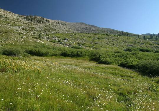
Alta Meadow looking uphill |
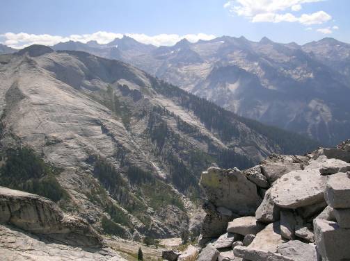
view into Buck Canyon, Great Western Divide in the background |
|
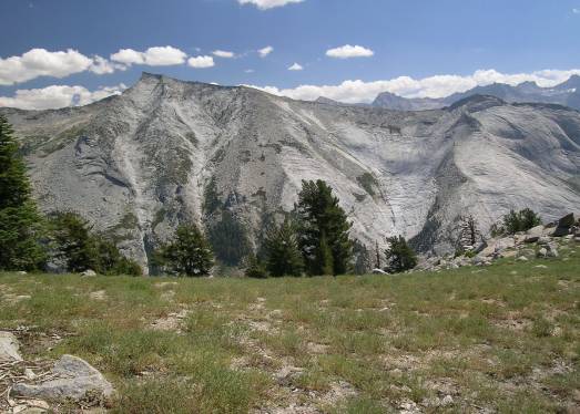
smoothed granite face other side of Buck Canyon |
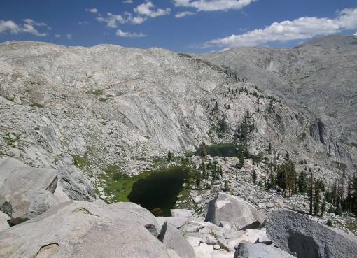
two lakes below our route (also visible on the map above to the right of our route) |
|
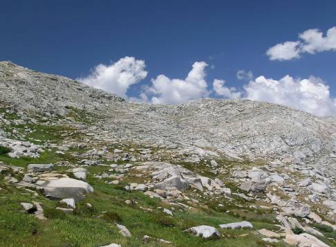
terrain approaching Moose Lake |
Moose Lake |
|
our route tomorrow (Pterodactyl Pass is the low spot near center) |
Moose Lake Pika |