Alta Peak and Tableland 2008
Big Bird Lake to Tableland Rim
Wednesday, August 20, 2008
Index <<Previous Next>>
|
|
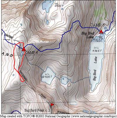
Lots of climbing today, but not much distance. The climb and route was easier than we expected, there are many routes that will work in this area. With rare energy left after reaching camp, we were going to take a hike around the lake but ended up going all the way south to a viewpoint (see red route on the map at left). We were quite close to our route from two days earlier, near Pterodactyl Pass (a small amount of this blue route shows on the bottom of the map). There certainly are grand views from this area! We could see as far north as the Palisades!
Journal Entry: Climbed from Big Bird Lake to the upper lake at around 11200 feet draining into Big Bird Lake. Climb was fairly straightforward and not too difficult, arrived at camp around 1pm. Dropped our packs and explored the area, which has views in all directions! Clear day, and shade is hard to come by here. Right now at 3pm I’m sitting almost under some rocks! Tomorrow we head down across Tableland and Table Meadows. |
|
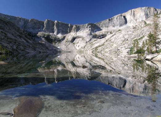
Big Bird Lake morning reflections |
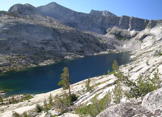
Big Bird Lake from the northwest |
|
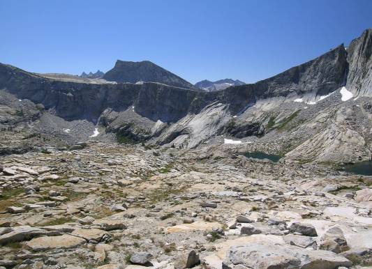
Horn Peak above the Big Bird Lake headwall Upper Big Bird Lakes visible on the right |
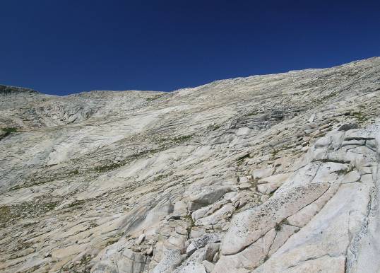
slab-dominated terrain climbing to Lake 11220 |
|
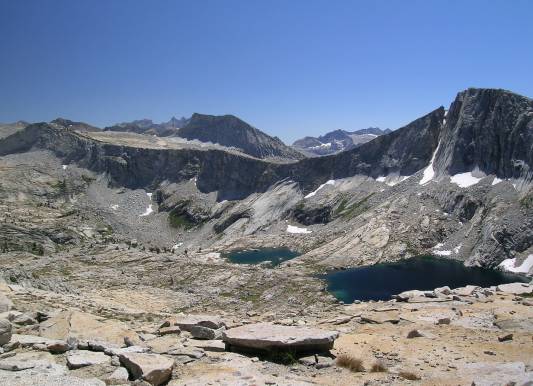
Upper Big Bird Lakes below Big Bird Peak Horn Col is on the left, the Big Bird Lake overlook viewpoint (from Monday) is the low spot in the center |
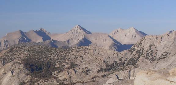
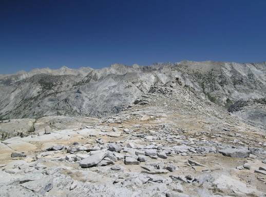
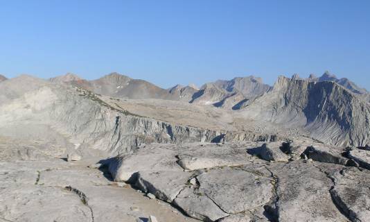
looking from Tableland Rim to the east Glacier Ridge and peaks beyond |
|
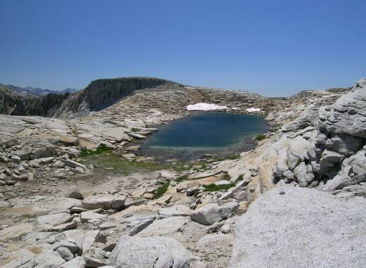
Lake 11220 where we camped |
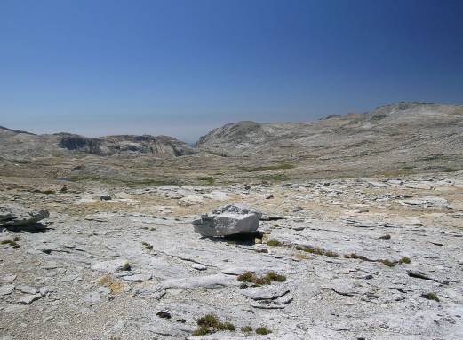
looking west toward Table Meadow where we are headed tomorrow |
|
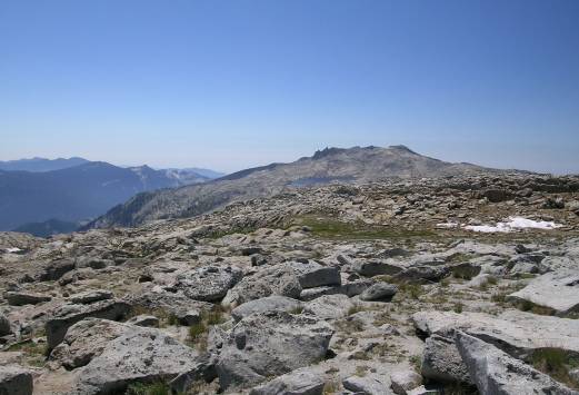
Alta Peak and Moose Lake |
on the right, Black Kaweah is above and behind Horn Peak |
|
North Guard, Mount Brewer, South Guard (view northeast) |