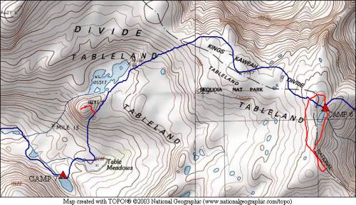
Alta Peak and Tableland 2008
Tableland Rim to Table Meadows
Thursday, August 21, 2008
Index <<Previous Next>>
|
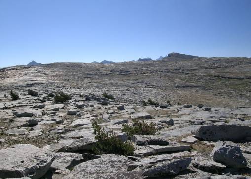
A fairly relaxed day, without much distance to do, lots of views available, and mostly downhill. The terrain near the Tableland rim is not as level as one might assume from the map, there are lots of small ups and downs, and some small gullies that must be walked around to avoid 20 or 30 foot cliffs. But this in no way made the hike what I would call “difficult.” An enjoyable day all around!
Journal Entry: Left our highest camp of the trip for some views. Tried to traverse the Tableland Rim but gullies and rocks made it difficult. So we walked over to the “edge” from time to time to see the view. View down Long Meadow with mountains near and far was spectacular! Headed south near the large lake at 10559 feet and climbed the small “hill” next to it for views over Table Meadows and down the valley. Went down to Table Meadows, then over to the large-ish lake at around 10150 feet where we are camping tonight. Tomorrow’s plan is downstream to Pear Lake. |
|
|
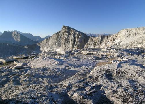
Horn Peak (far left), Big Bird Peak (center) from near camp 6 |
Tableland terrain: looking back toward last night’s camp |
|
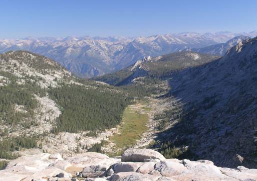
Furguson Meadow view north from the rim |
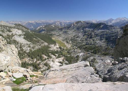
Furguson Meadow from farther west |
|
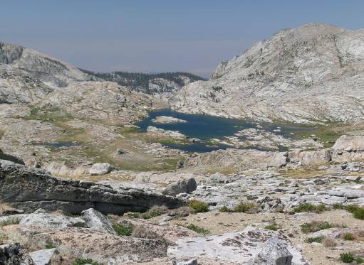
Lake 10559 from the northeast |
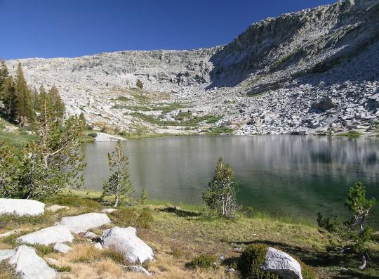
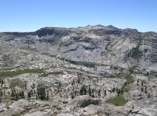
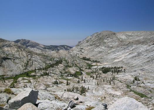
Table Meadow (left) and Lake 10130 (tonight’s camp) viewed from Peak 10695 |
|
view west from Peak 10695 |
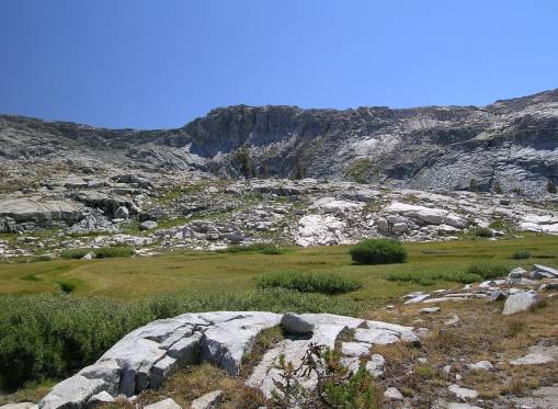
Table Meadow |
|
Lake 10130 |