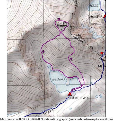
Mt. Tyndall and Wallace Basin 2009
Mt. Tyndall summit
Wednesday, August 26, 2009
Index <<Previous Next>>

(almost) 360 degree view from Mt. Tyndall—click on the picture for a larger, labeled version of the above panorama!
|
|
Another day without our full packs! But that doesn’t mean it was easy. This is supposed to be the easiest route up Mt. Tyndall, but we were still worn out by the end of the day. 2000 feet elevation gain to the summit, which is at 14018 feet elevation.
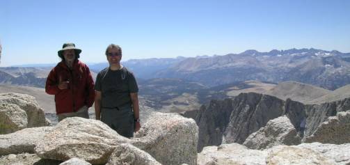
Ron & Steve on the summit
Journal Entry: No clouds at all today—great day to climb at 14er! Left camp around 9:30, got to the summit around 1:00. Took a chute on the way up that probably wasn’t the best route. Awesome views from the summit, Whitney, Kaweah, Palisades, Brewer, and of course Williamson all in view. Studied our pass for tomorrow and even saw the upper part of the other side which didn’t look bad. Left the summit around 2:30 via a different route, kind of steep at the bottom. Back at camp 5pm. |
|
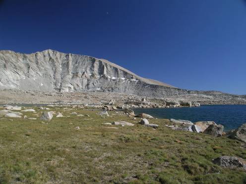
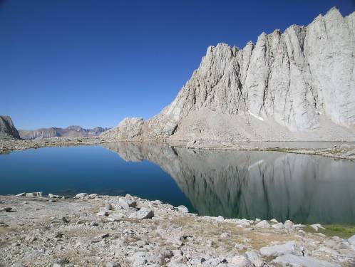
upper Wright Lake with morning reflections |
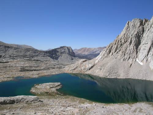
upper Wright Lake |
|
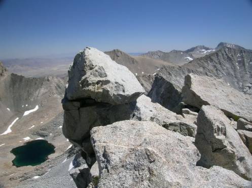
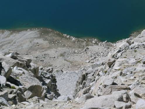
looking down the chute we had just climbed, lake is 1000 feet below |
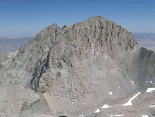
impressive Mt. Williamson (second highest mountain in California) |
|
summit rocks, one of the lakes in Williamson Bowl far below |
Mt. Barnard as we were coming back into camp |